Overview
About Buffalo National River.
Established in 1972, Buffalo National River flows freely for 135 miles and is one of the few remaining undammed rivers in the lower 48 states. Once you arrive, prepare to journey from running rapids to quiet pools while surrounded by massive bluffs as you cruise through the Ozark Mountains down to the White River.
CampingBackcountry CampingCavingFishingFreshwater FishingFoodDiningPicnickingGuided ToursHikingBackcountry HikingOff-Trail Permitted Hiking
Weather
Summer in the Ozarks can be very hot and humid. Please check the weather forecast prior to your arrival and plan accordingly. The weather the rest of the year has the potential to be wet and cool or dry and warm. Please pay special attention to river levels and the rain forecast when planning a trip on the river. River levels can rise dramatically in a short period of time so please be aware of conditions.
Gallery
Photos of Buffalo National River.
6 images
Things to do
Discover Buffalo National River.
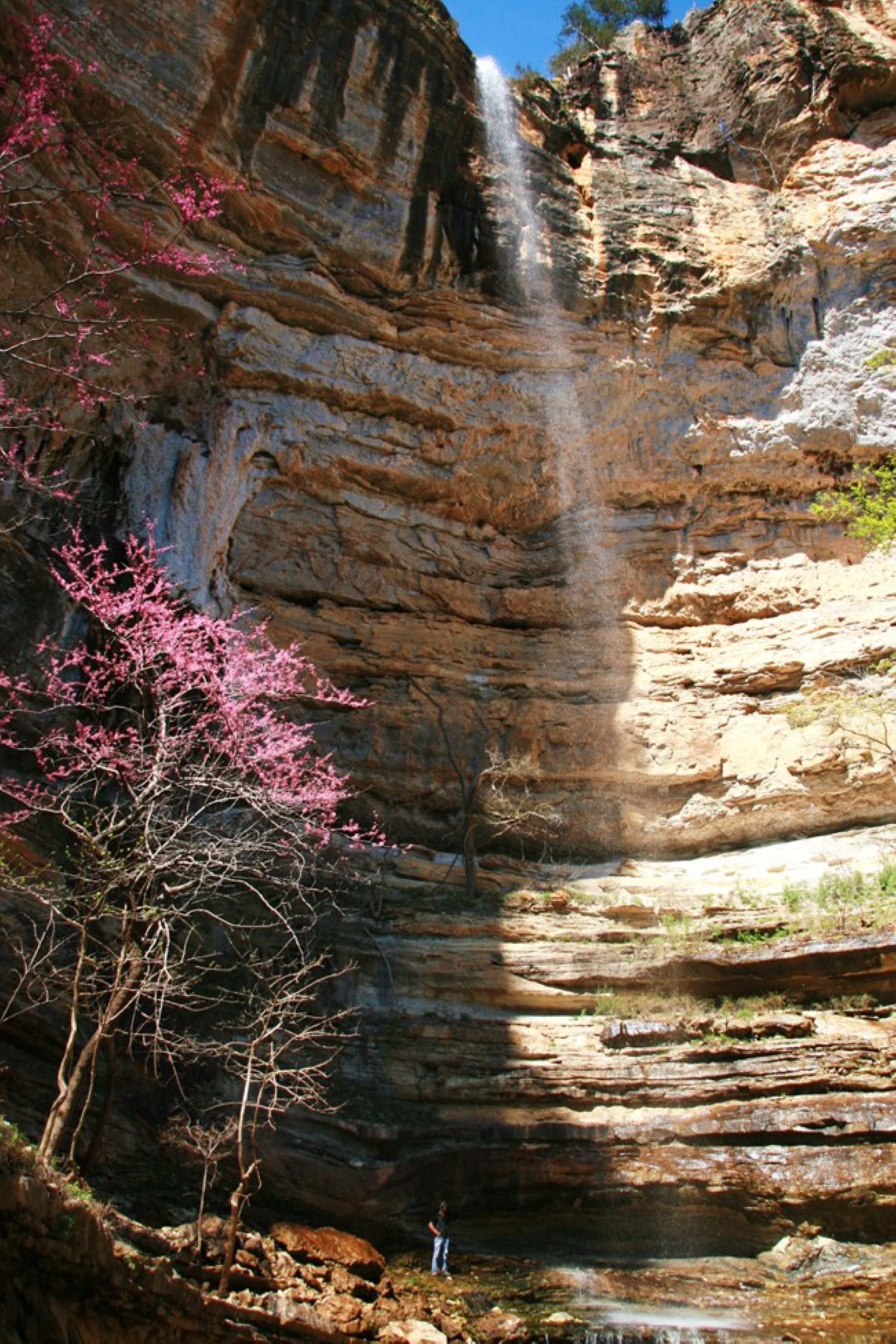
Hemmed-in Hollow Falls
4-12 HoursHemmed-In Hollow Falls
Learn more
Hike Shine Eye to Gilbert
4 HoursTrail is along the bluffs of the river from Hwy 65 to Gilbert.
Learn more
Hike the Beaver Jim Villines Homestead Trail
15-60 MinutesThis short interpretive loop begins at the Ponca Access of the Buffalo River near the intersection of Hwy. 43 and 74. Walk across the low-water bridge (when passable) and follow signs up the hill. This easy trail passes the old homestead and farm buildings of "Beaver" Jim Villines, an early fur trapper and trader in Boxley Valley.
Learn more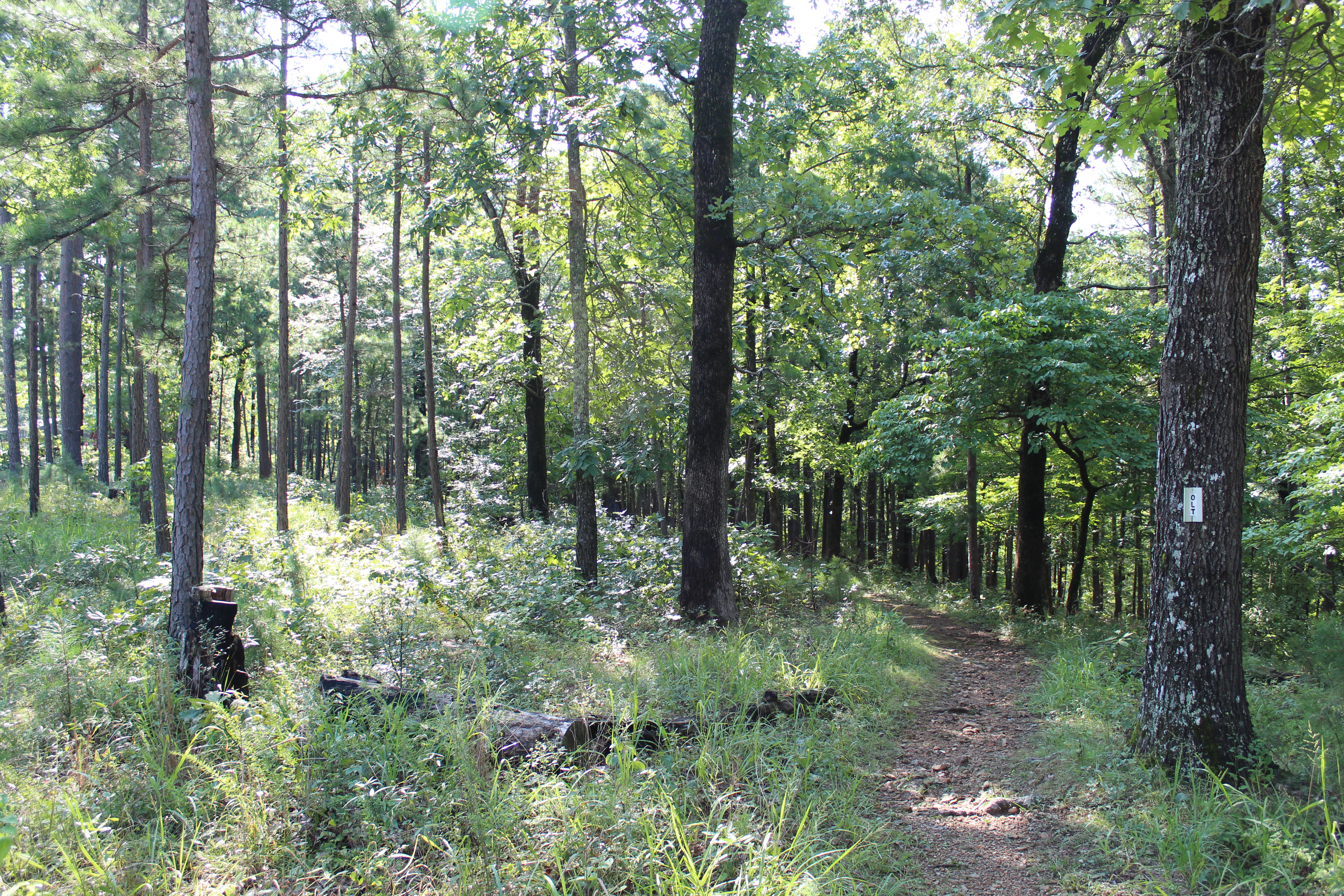
Hike the Buffalo Point Campground Trails
1-4 HoursThe Buffalo Point Campground Trails give campers, day hikers, and leashed dogs a chance to stretch their legs between the campground and the historic cabin area at Buffalo Point. Hike through a mix of a pine and oak trees, a cedar glade, and past a sinkhole as you explore. Wildflowers dot the trail system throughout the spring and summer. Finally, the view from the Overlook Trail is one that you do not want to miss!
Learn more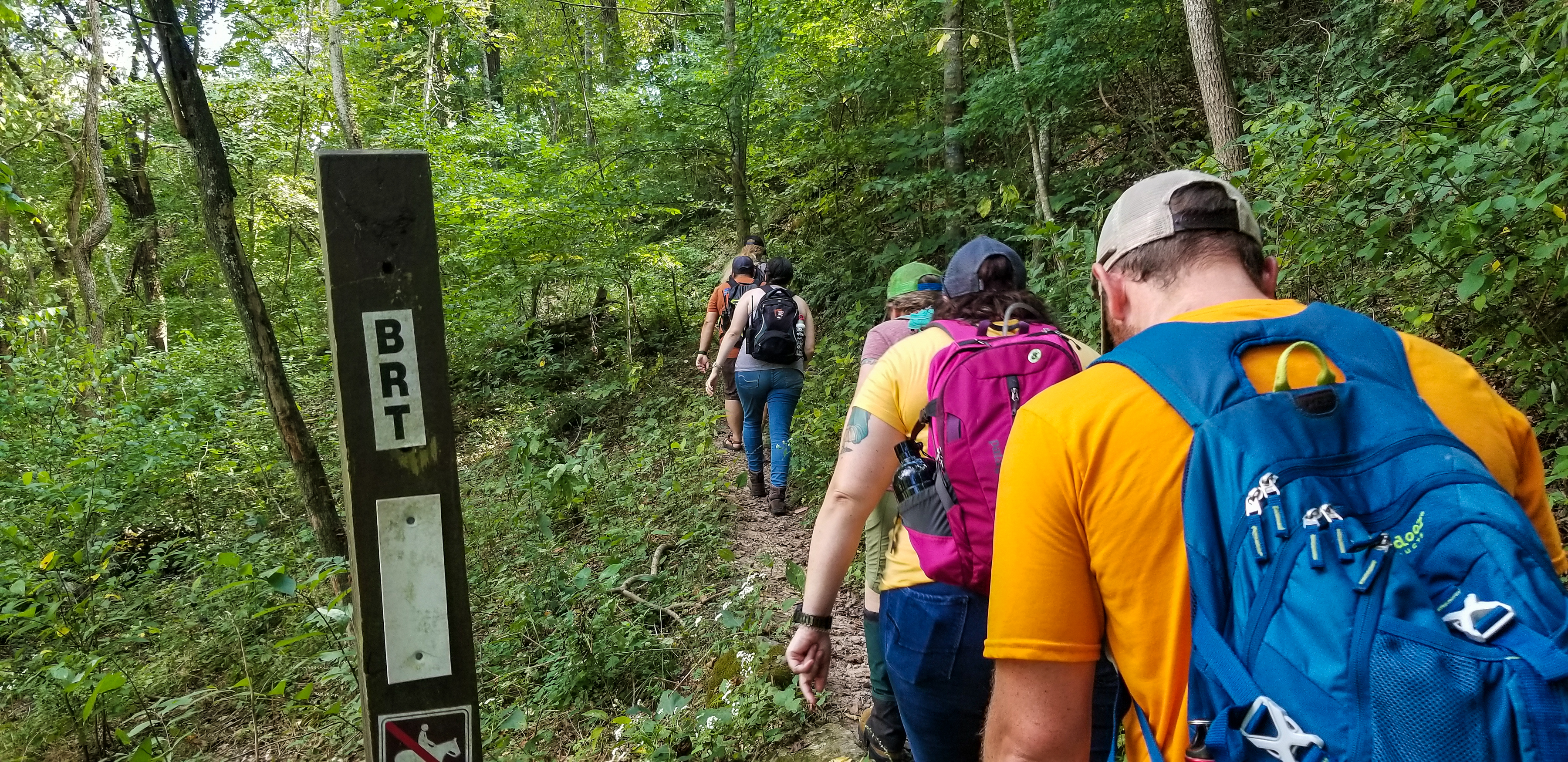
Hike the Buffalo River Trail - Boxley to Pruitt
The Buffalo River Trail (BRT) winds along the bluffs and ridgelines on the south side of the river, traversing the Ponca Wilderness past scenic overlooks, old home sites, and cascading creeks. This portion of the BRT is 37 miles long and is a popular thru-hiking destination for backpackers. Day hikers can access the BRT in several locations for shorter out-and-back or point-to-point hikes.
Learn more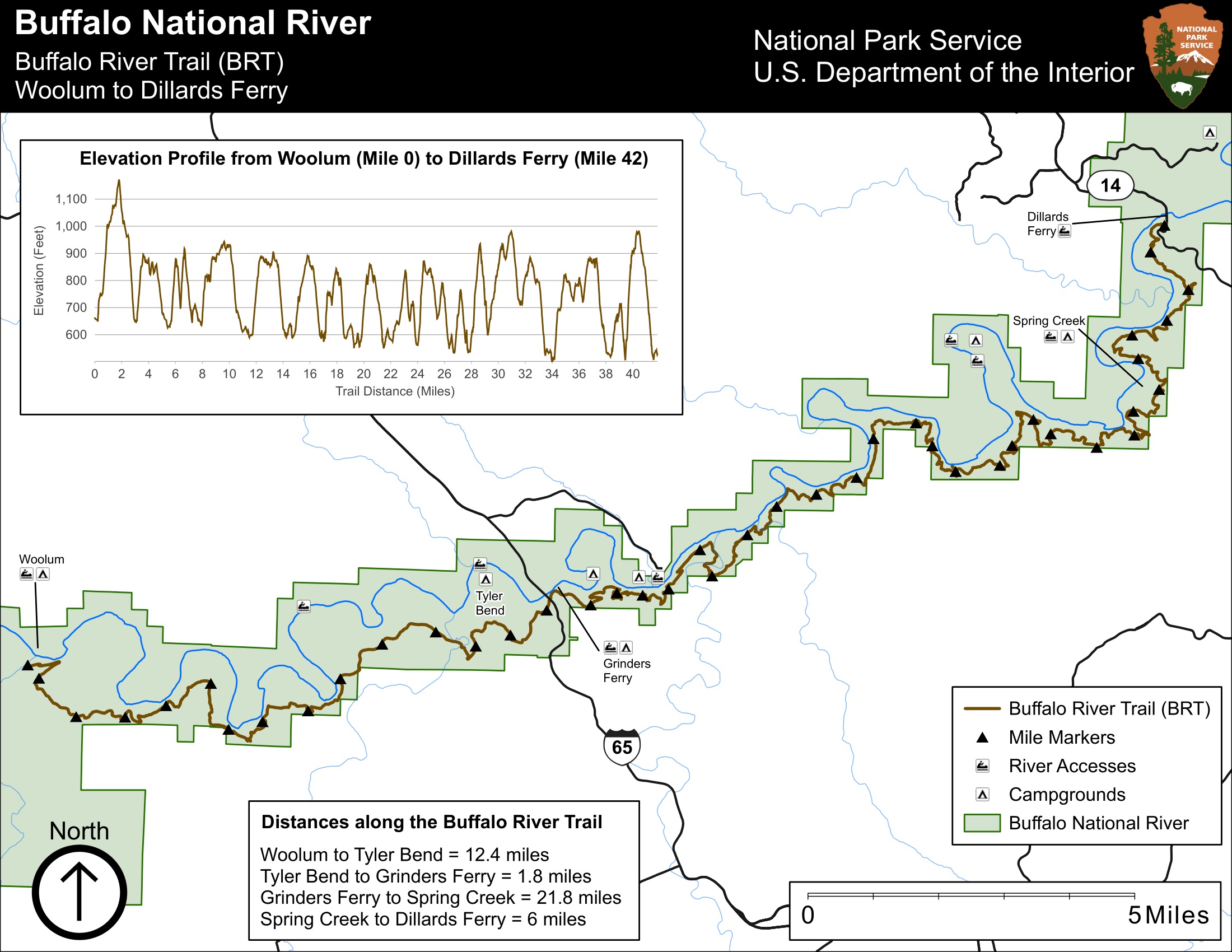
Hike the Buffalo River Trail - Woolum to Dillards Ferry
24-48 HoursA long and difficult hike, the Buffalo River Trail between Woolum and Dillards Ferry stretches a majority of the middle district of Buffalo National River.
Learn more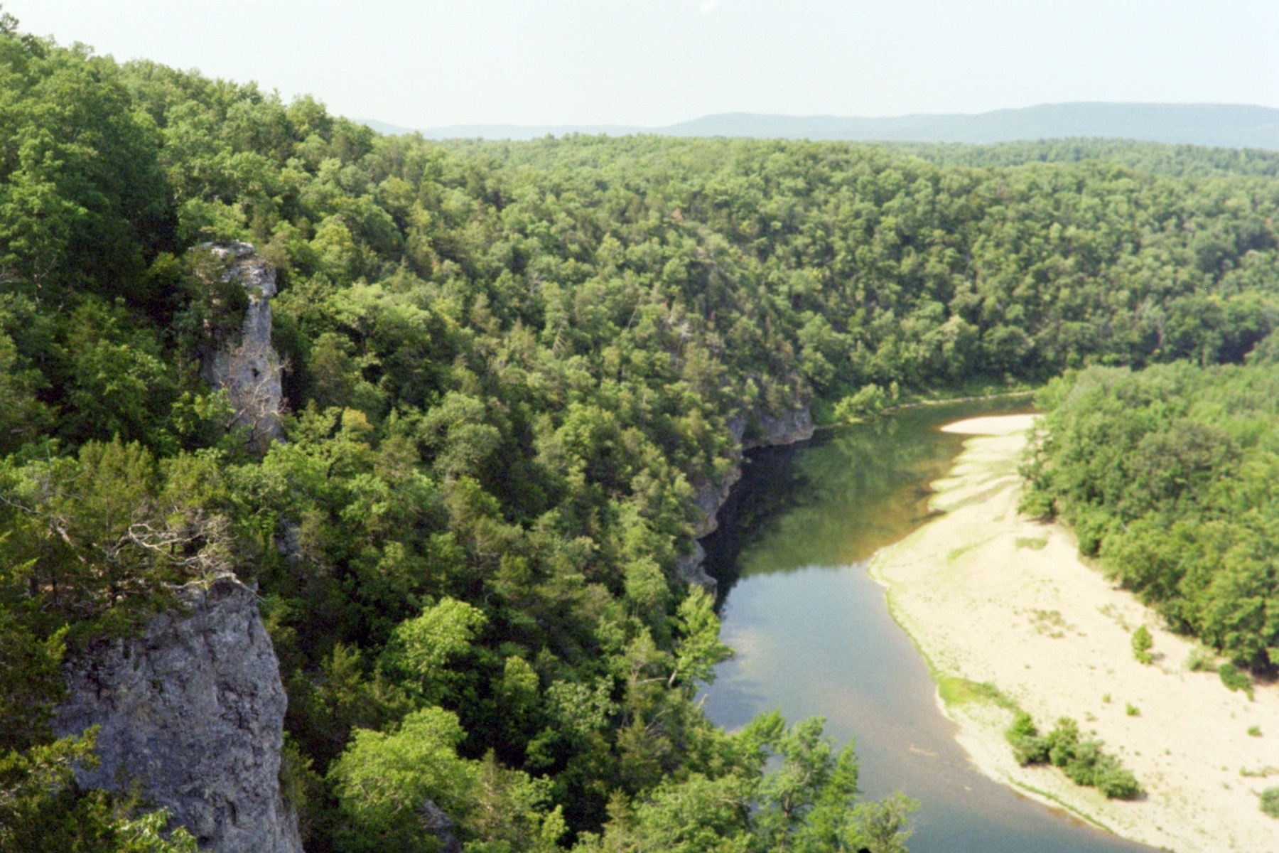
Hike the Buffalo River Trail - Woolum to Tyler Bend
12 HoursThe Buffalo River Trail follows along the south side of the river from Woolum to Tyler Bend for a little more than 11 miles.
Learn more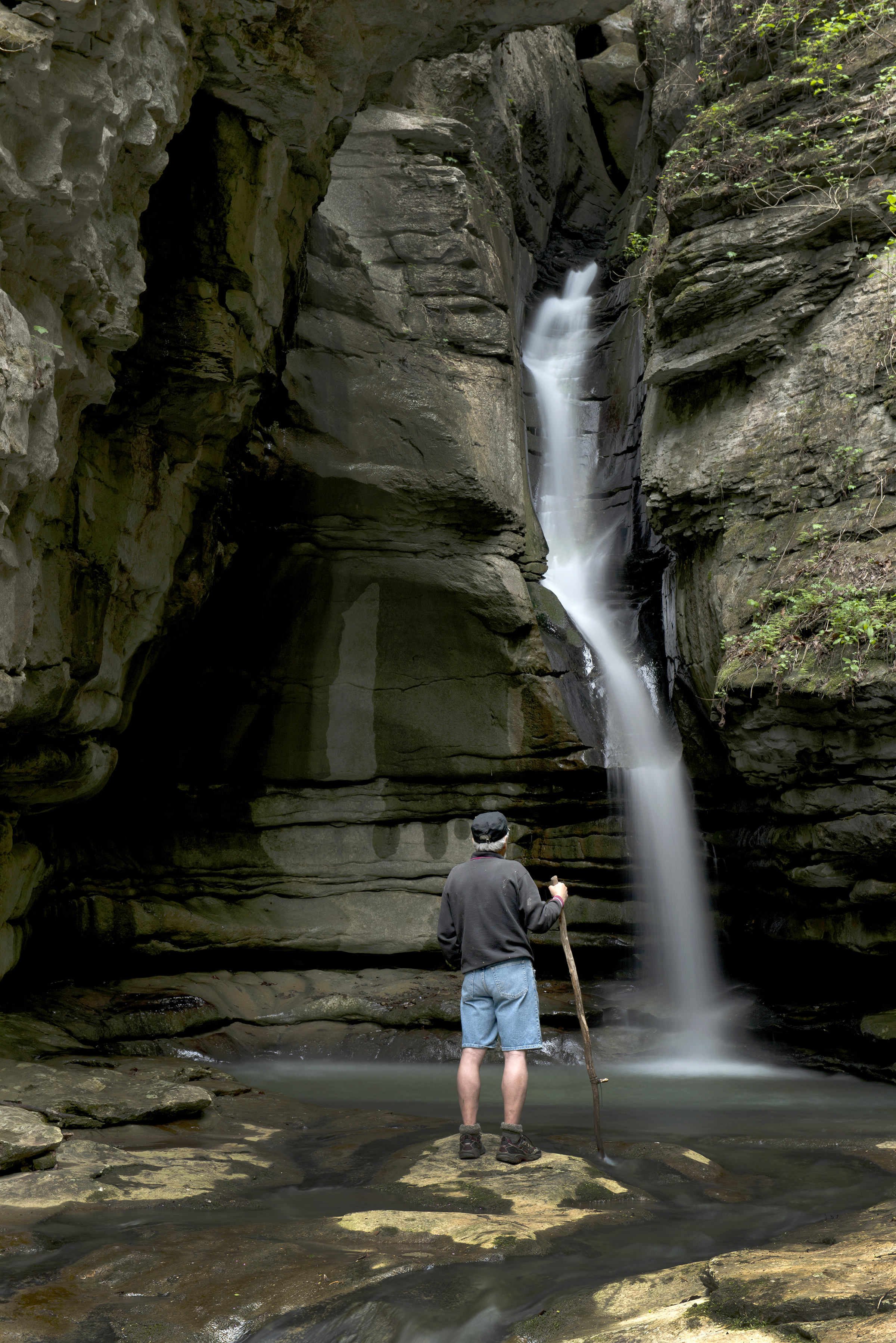
Hike the Cecil Cove Loop
5-8 HoursThis 7-mile loop winds through the wooded valley following Cecil Creek. The trail crosses Cecil Creek 5 times in the first 2 miles, so it may not be passable during rainy season due to high water. The Cecil Cove Loop passes old home sites, historic cemeteries, and provides beautiful scenic views during leaf-off. CAUTION: Starting in 2021 the Cecil Cove Trail experienced and continues to experience landslides. Proceed on the trail at your own risk and use extreme caution.
Learn more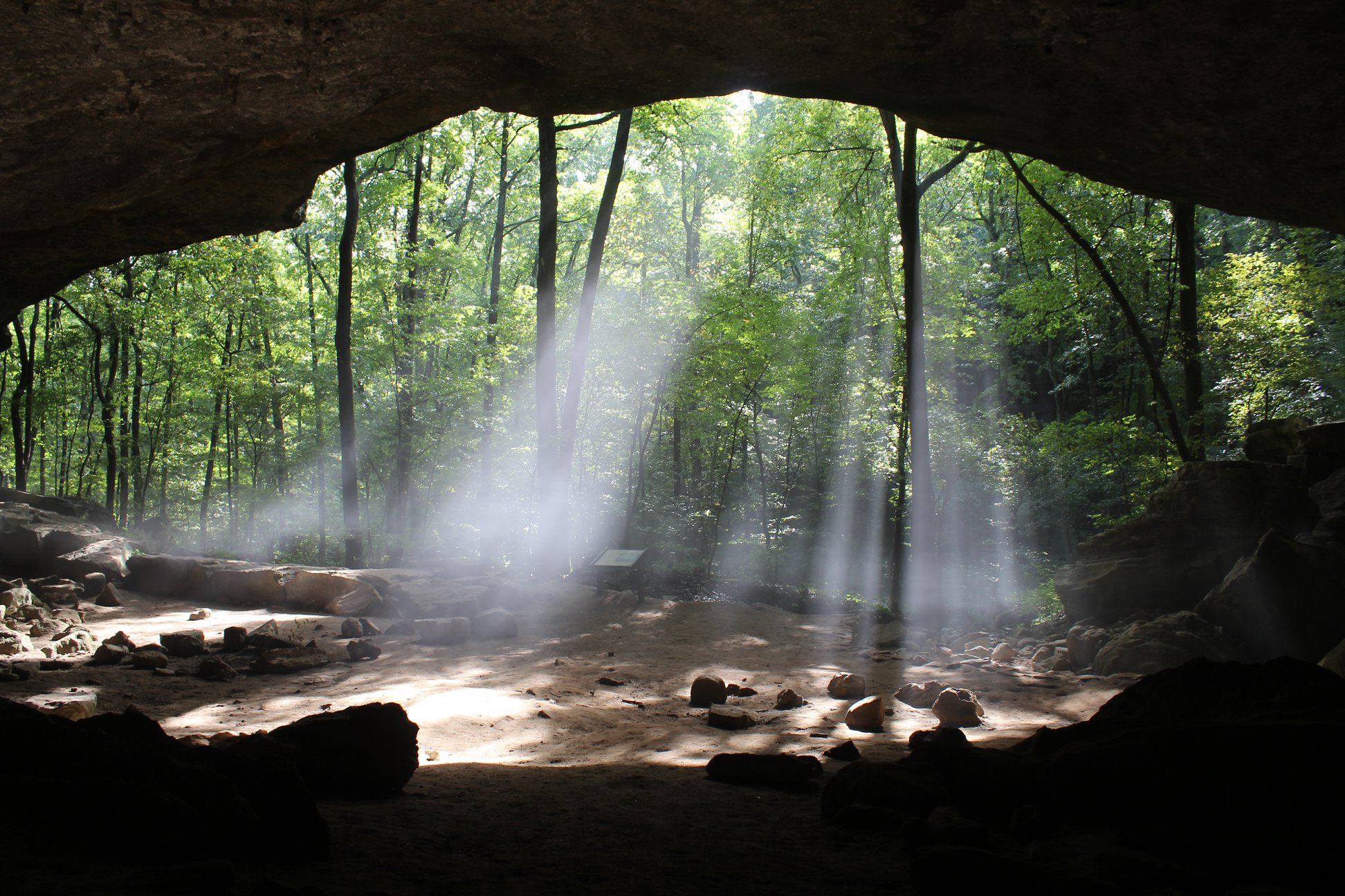
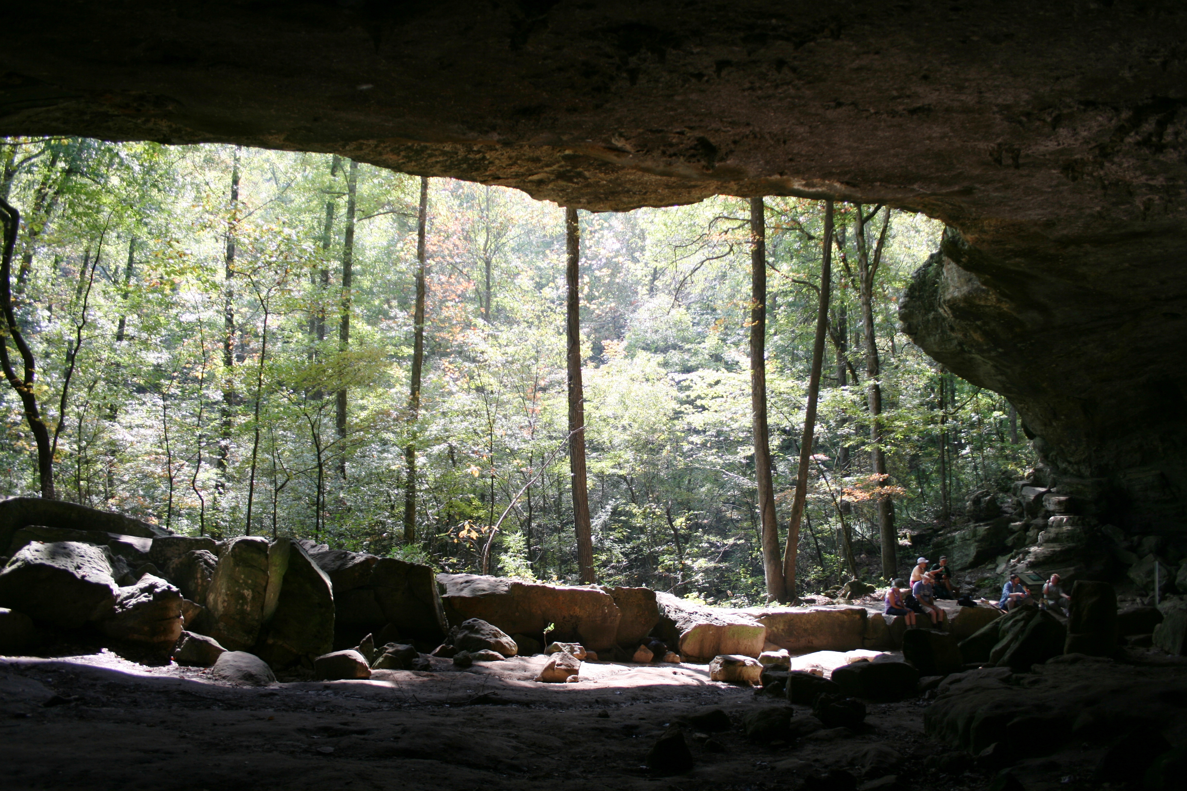
Hike the Indian Rockhouse Trail
3-5 HoursA hike on the Indian Rockhouse reveals geologic formations commonly found on a limestone landscape and gives hikers an opportunity to explore locations where ancient peoples sought shelter.
Learn moreNo reviews yet. Be the first to share your experience!
Know a great spot near Buffalo National River?
Help visitors discover the best local businesses near Buffalo National River. List your business on Poyst and reach thousands of travelers.
- ✓Free business listing with photos & reviews
- ✓Appear in destination & city guides
- ✓Analytics dashboard to track visibility