Overview
About Voyageurs National Park.
Voyageurs National Park spans 218,000 acres of lakes, forests, and streams in northern Minnesota. Established in 1975, the park is named after the French-Canadian Voyageurs who once navigated these abundant waters. Voyageurs National Park provides exceptional opportunities for recreation and exploration amidst landscapes rich in natural beauty, history, and cultural heritage.
Arts and CultureCultural DemonstrationsAstronomyStargazingBikingBoatingMotorized BoatingSailingBoat TourCampingBackcountry CampingCanoe or Kayak Camping
Weather
There are four distinct seasons in Voyageur country. During June, July, and August periods of fine, mild weather prevail. The frost-free season averages 120 days from June to mid-September. The average ice-out date is May 3. The first measurable snowfall occurs in late October and the last in late April or early May.
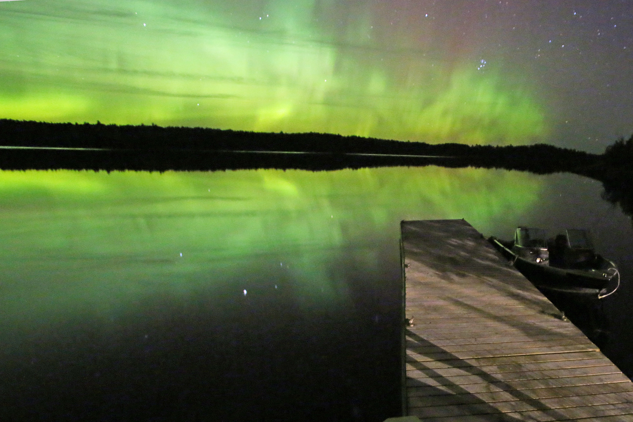
Gallery
Photos of Voyageurs National Park.
6 images
Things to do
Discover Voyageurs National Park.
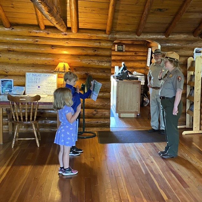
Become a Junior Ranger at Voyageurs National Park
Explore and learn about Voyageurs National Park as you become a Junior Ranger. Ask for a Junior Ranger Book at any Visitor Center. Learn about the park, its history, and animals by completing activities in the book, then explore the park on the water, on trails, or at a ranger program. The stop by the Visitor Center to be sworn in as a Junior Ranger and get your patch and badge.
Learn more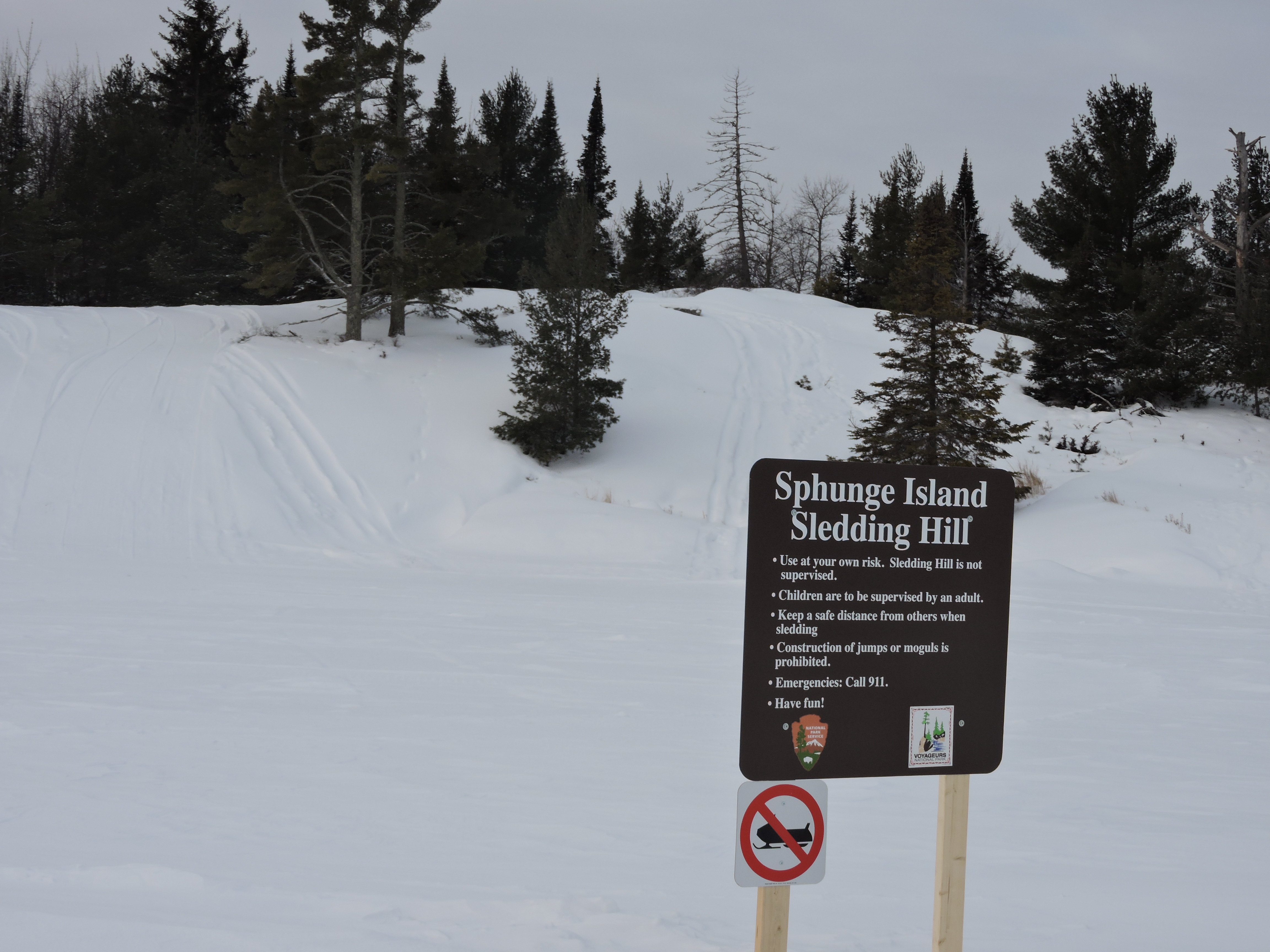
Go sledding on Sphunge Island
Visitors will find picnic tables and a fire ring at the bottom of the hill near the sledding hill parking lot. The sledding hill consists of a small hill for younger children and a larger hill for older children and adults.
Learn more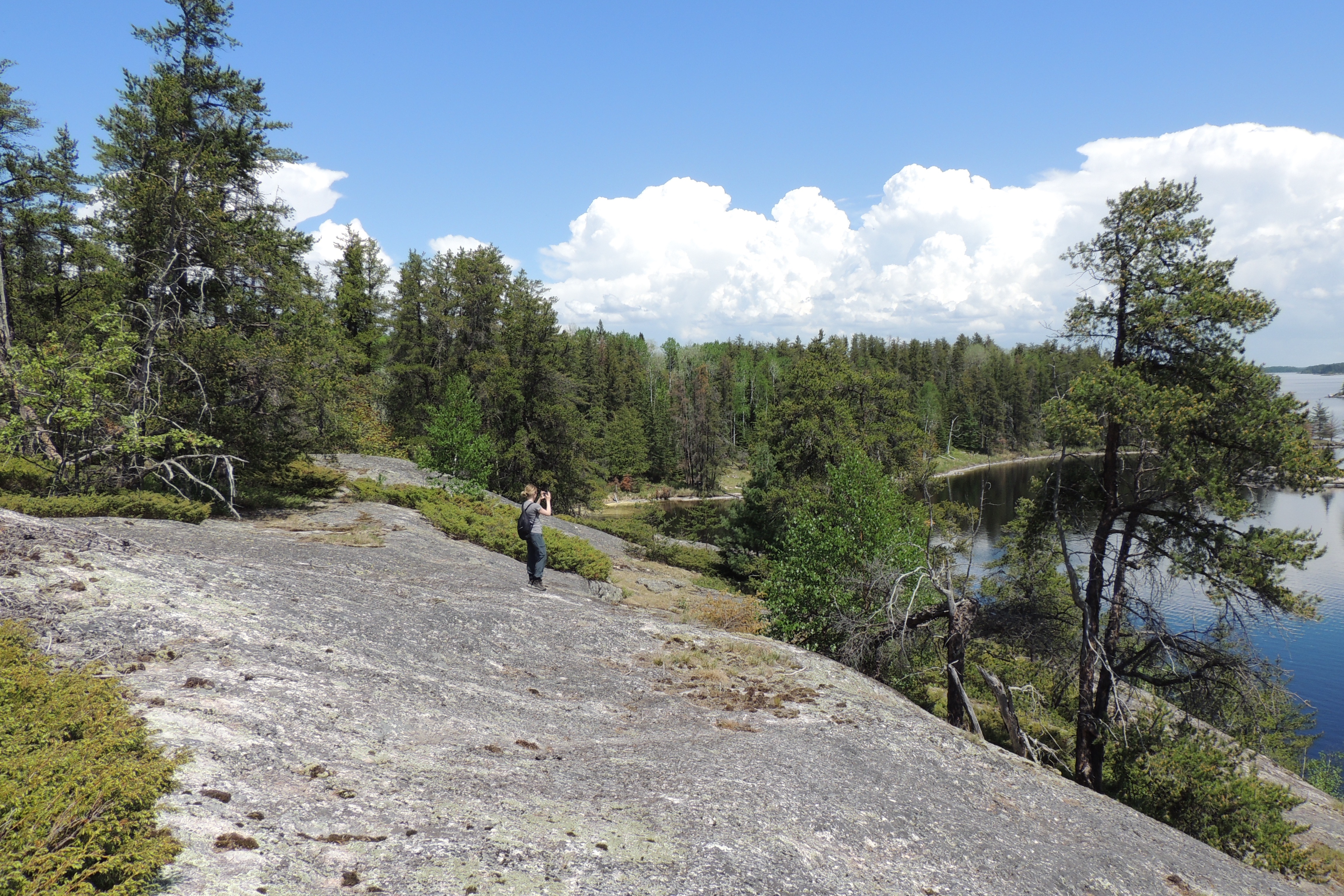
Hike Anderson Bay Loop
90-150 MinutesThis trail takes you through the forest past rocky clearings and beaver ponds to spectacular views of Rainy Lake form the shoreline and Anderson Bay from the top of the cliffs.
Learn more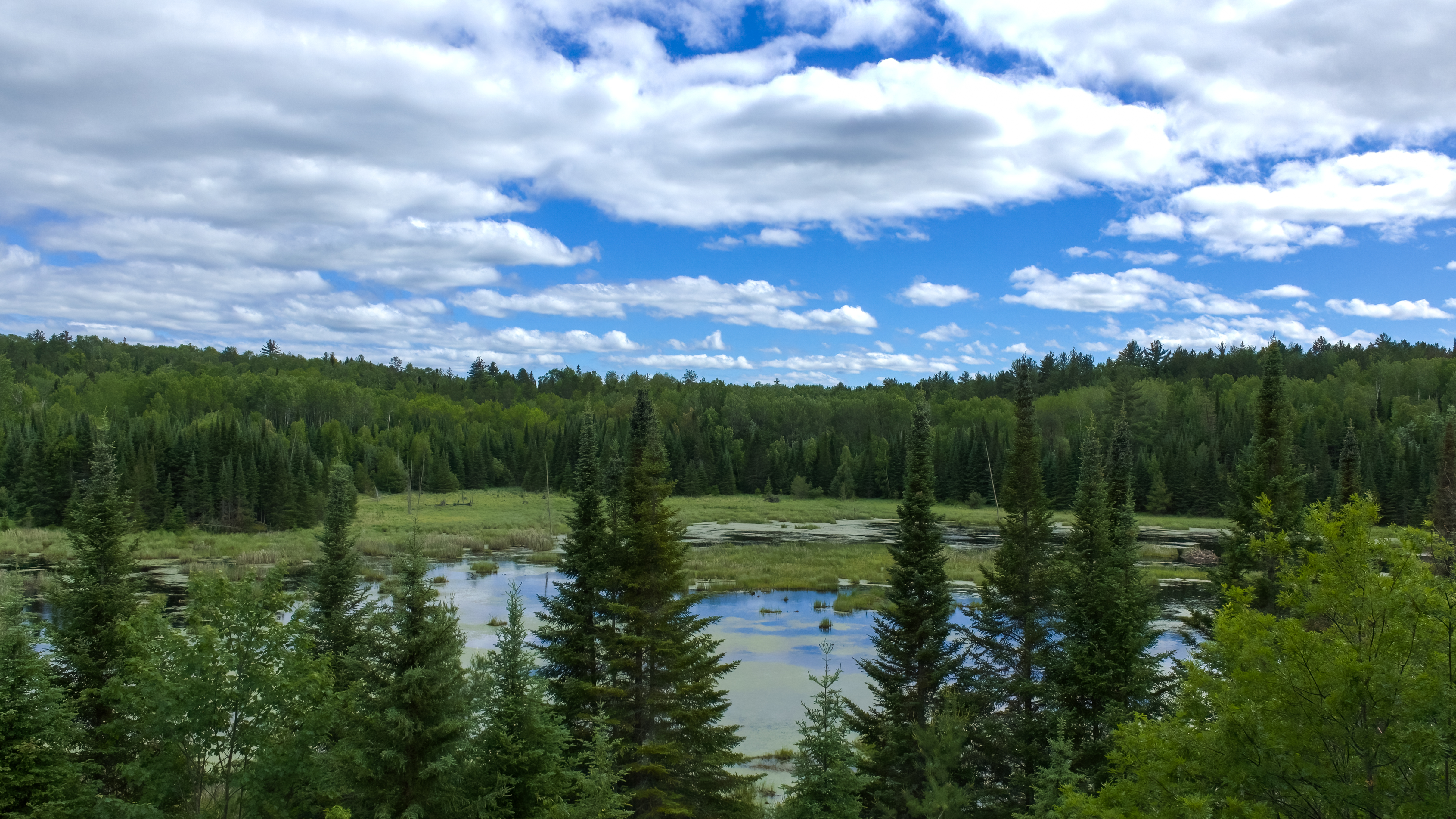
Hike Beaver Pond Overlook Trail
10-30 MinutesA short uphill hike through an aspen and pine forest leads to a rocky outcrop high above a beaver pond. Although beavers are no longer active at this pond, this trail provides great birding opportunities, and the possibility of spotting large wildlife.
Learn more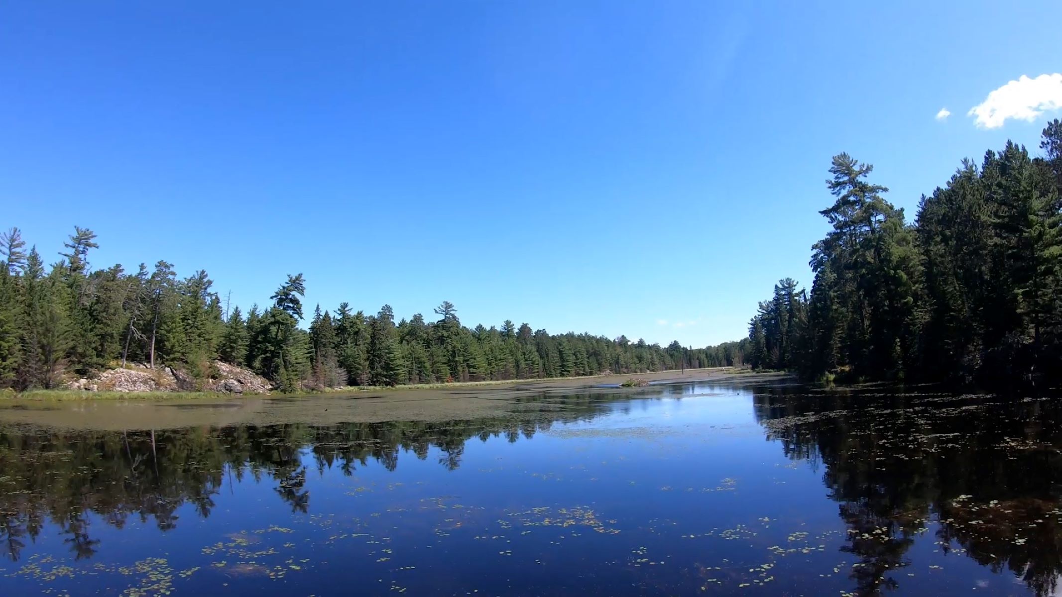
Hike Black Bay Beaver Pond Trail
30-60 MinutesTake a boat one mile from the visitor center and hike this trail through northern pine country to a scenic, active beaver pond.
Learn more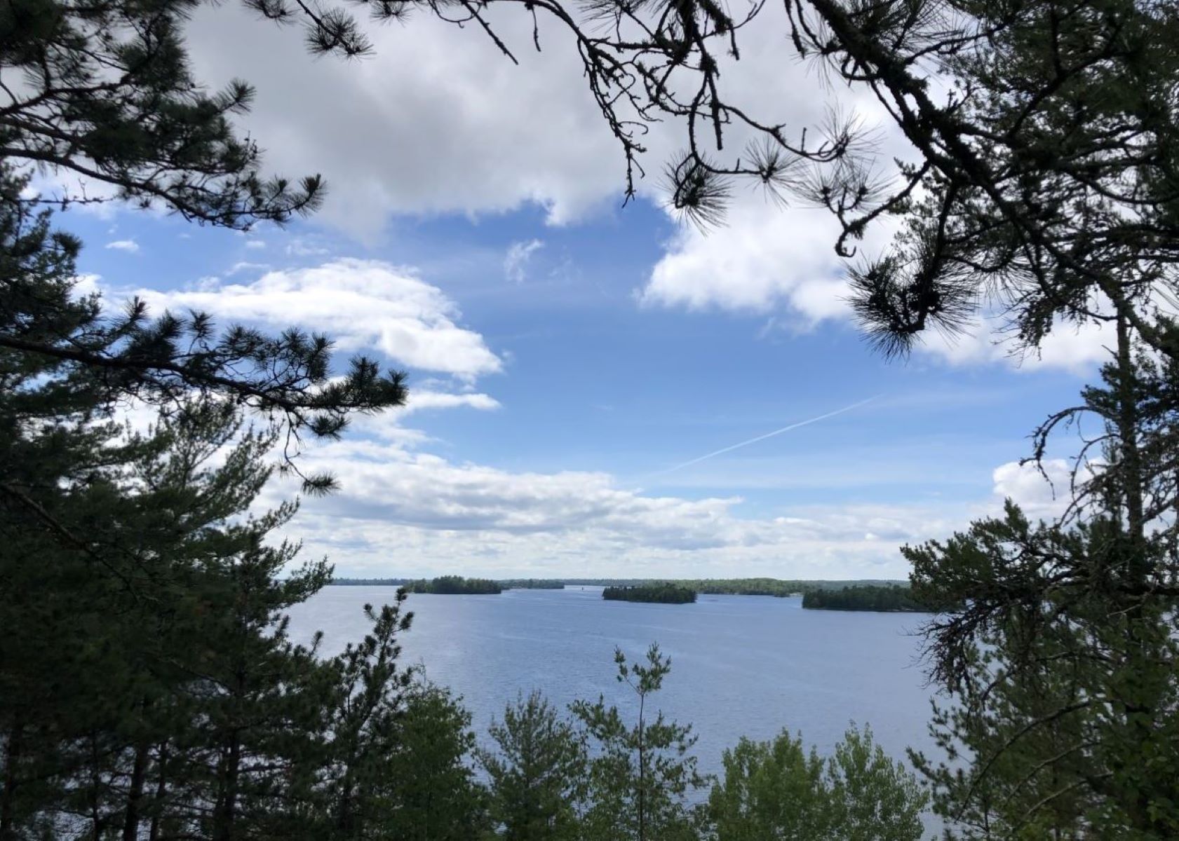
Hike Blind Ash Bay Trail
1-3 HoursThis narrow, winding, rocky trail exposes users to the wonders of the boreal forest. This path is great for birding, it is also frequented by deer and other wildlife. From closed in forest to post card worthy views of Kabetogama Lake, this lollipop loop trail has it all.
Learn more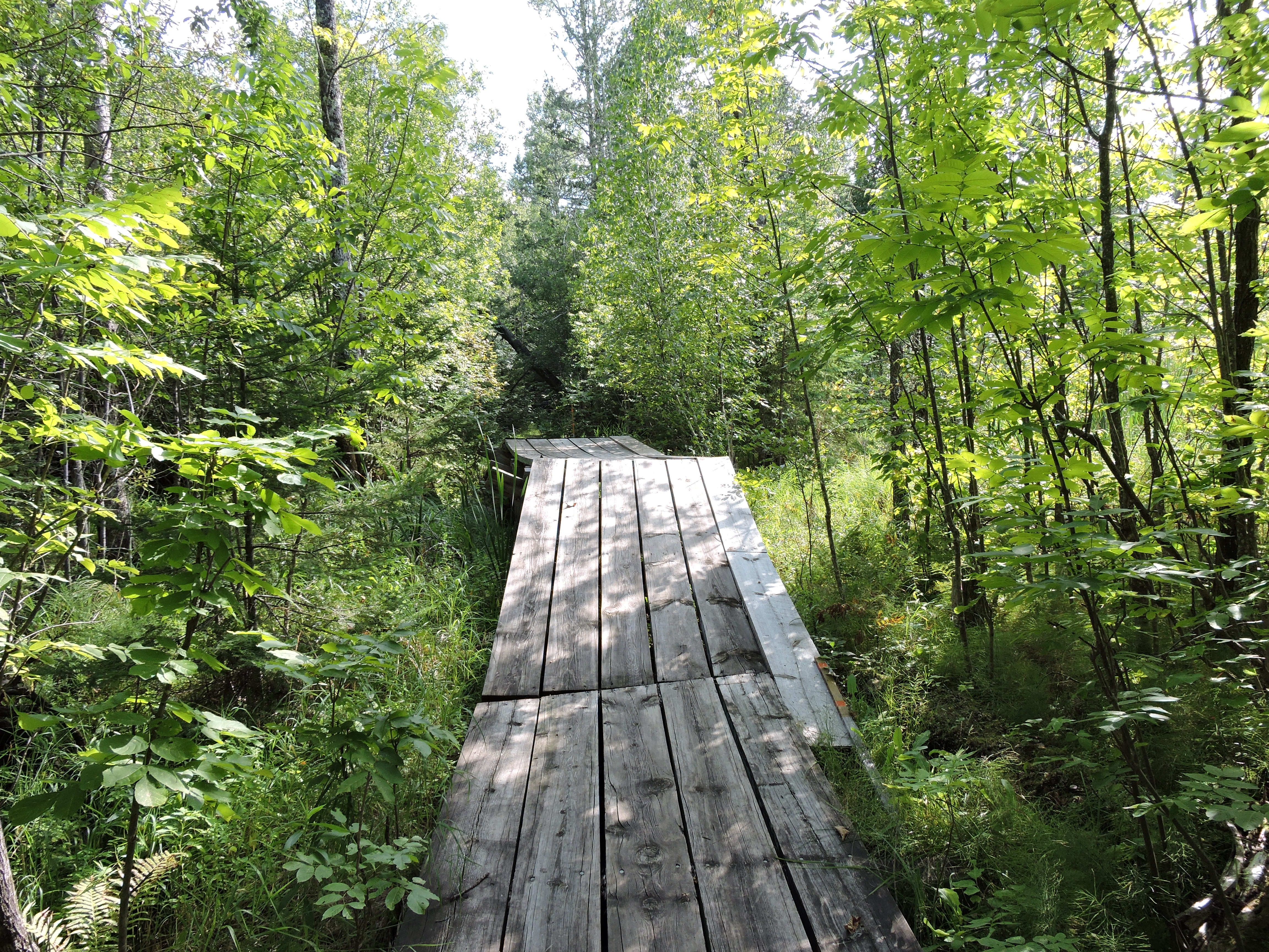
Hike Echo Bay Trail
40-120 MinutesThis wide trail showcases the transition between deciduous and boreal forests as you pass through lowlands and rocky outcrops. With views of wetlands created by the engineering genius of the North American Beaver, and dense forest, the trail is popular with birders. Sightings from warblers to woodpeckers and even raptors are common.
Learn more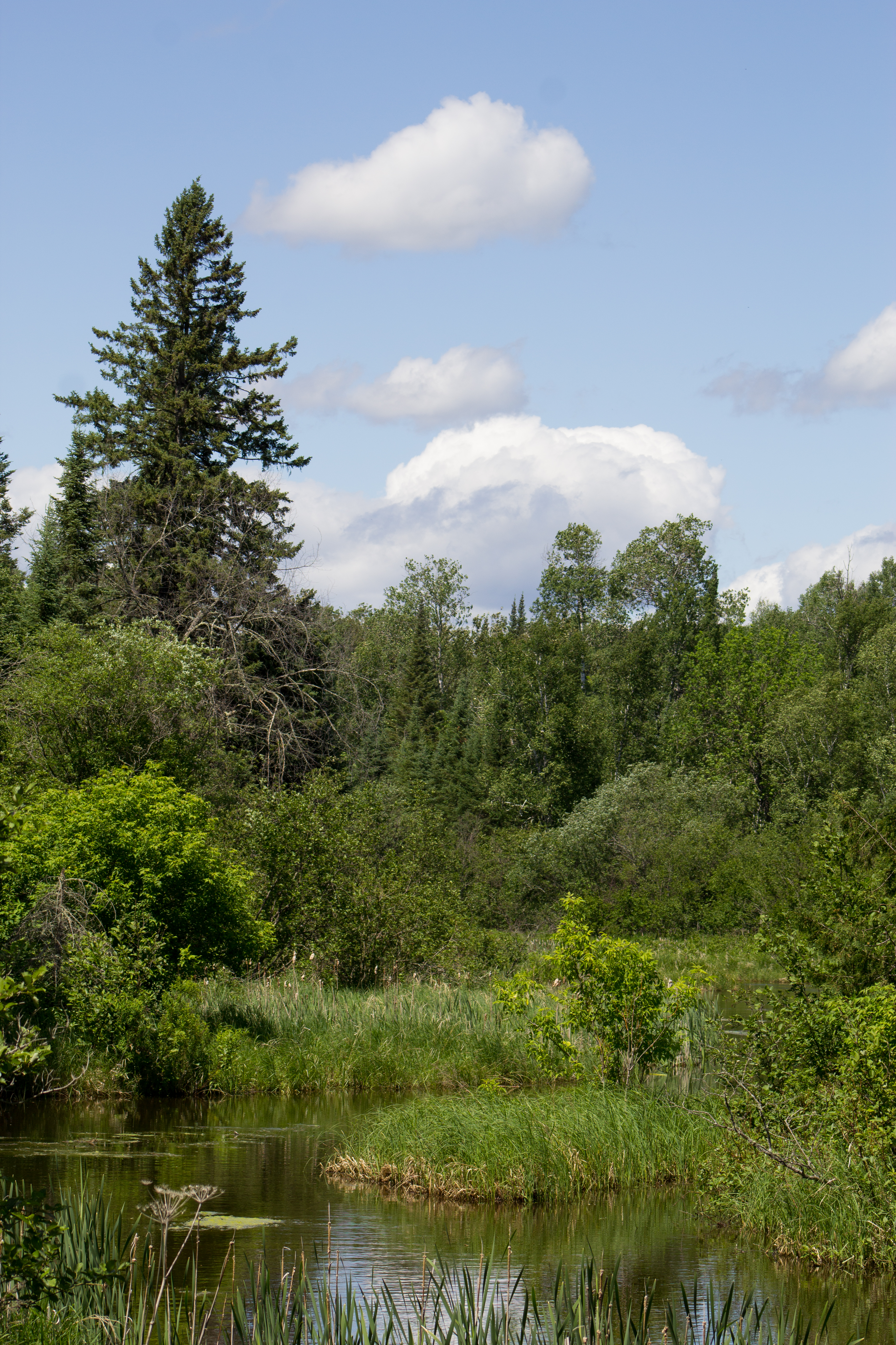
Hike Kab-Ash Trail
1-5 DaysPlease note: The Salmi Road entrance to the Kab-Ash Trail in the Kabetogama community is closed (click to see map). This multi-day trail connects the Kabetogama and Ash River communities through an extensive system of interconnected backcountry forests and wetlands. With multiple trailheads, you can explore smaller sections or plan an adventurous thru-hike with primitive camping opportunities along the way. Difficulty: Strenuous; Hiking Distance: 27.9 miles (44.9-km) one-wa
Learn more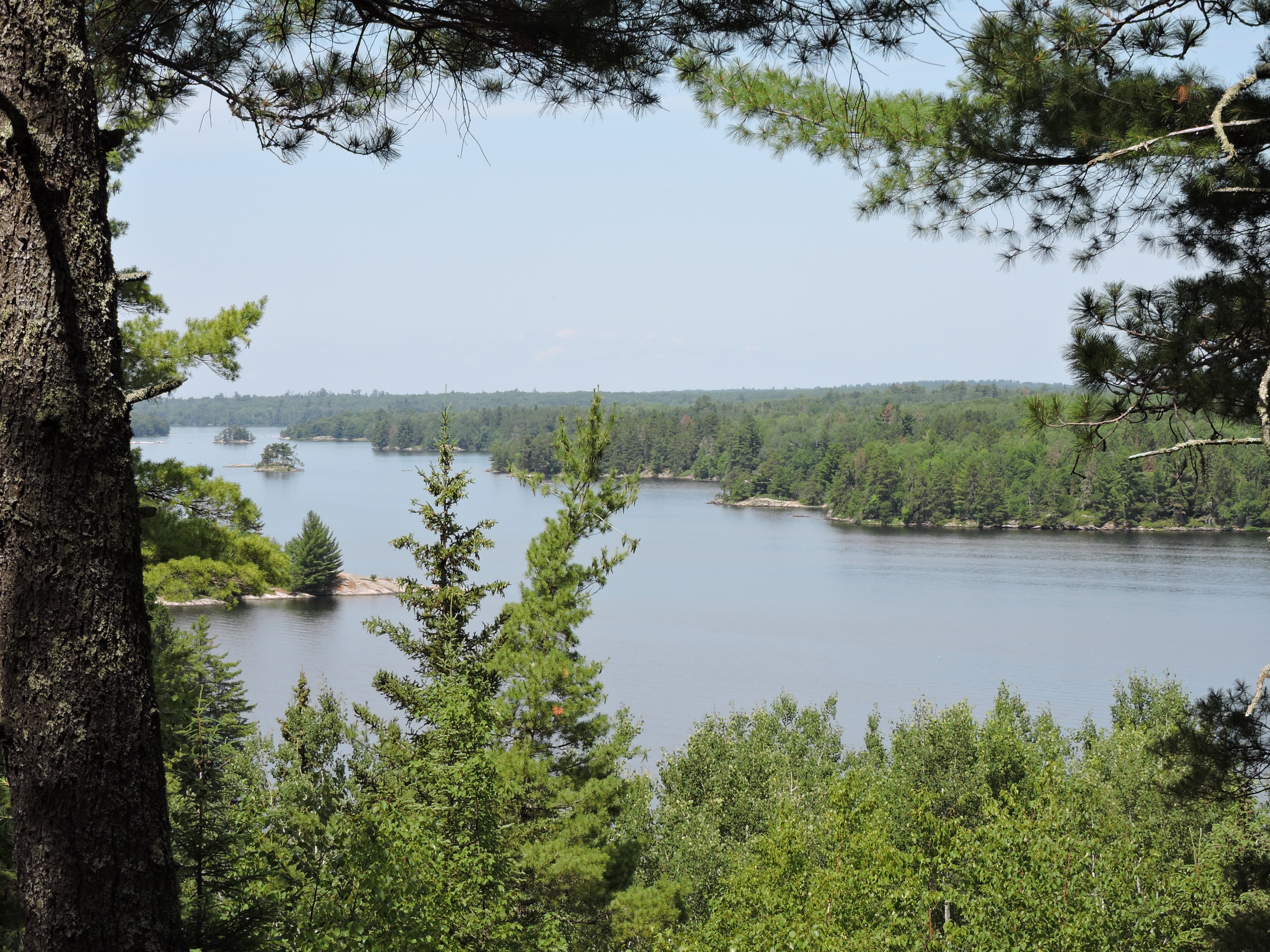
Hike Kabetogama Lake Overlook Trail
10-30 MinutesThis short handicap accessible trail takes you through a pine forest to a viewpoint where you can sit on a bench and see Kabetogama Lake framed by the trees.
Learn moreNo reviews yet. Be the first to share your experience!
Know a great spot near Voyageurs National Park?
Help visitors discover the best local businesses near Voyageurs National Park. List your business on Poyst and reach thousands of travelers.
- ✓Free business listing with photos & reviews
- ✓Appear in destination & city guides
- ✓Analytics dashboard to track visibility