6-8 HoursFee applies
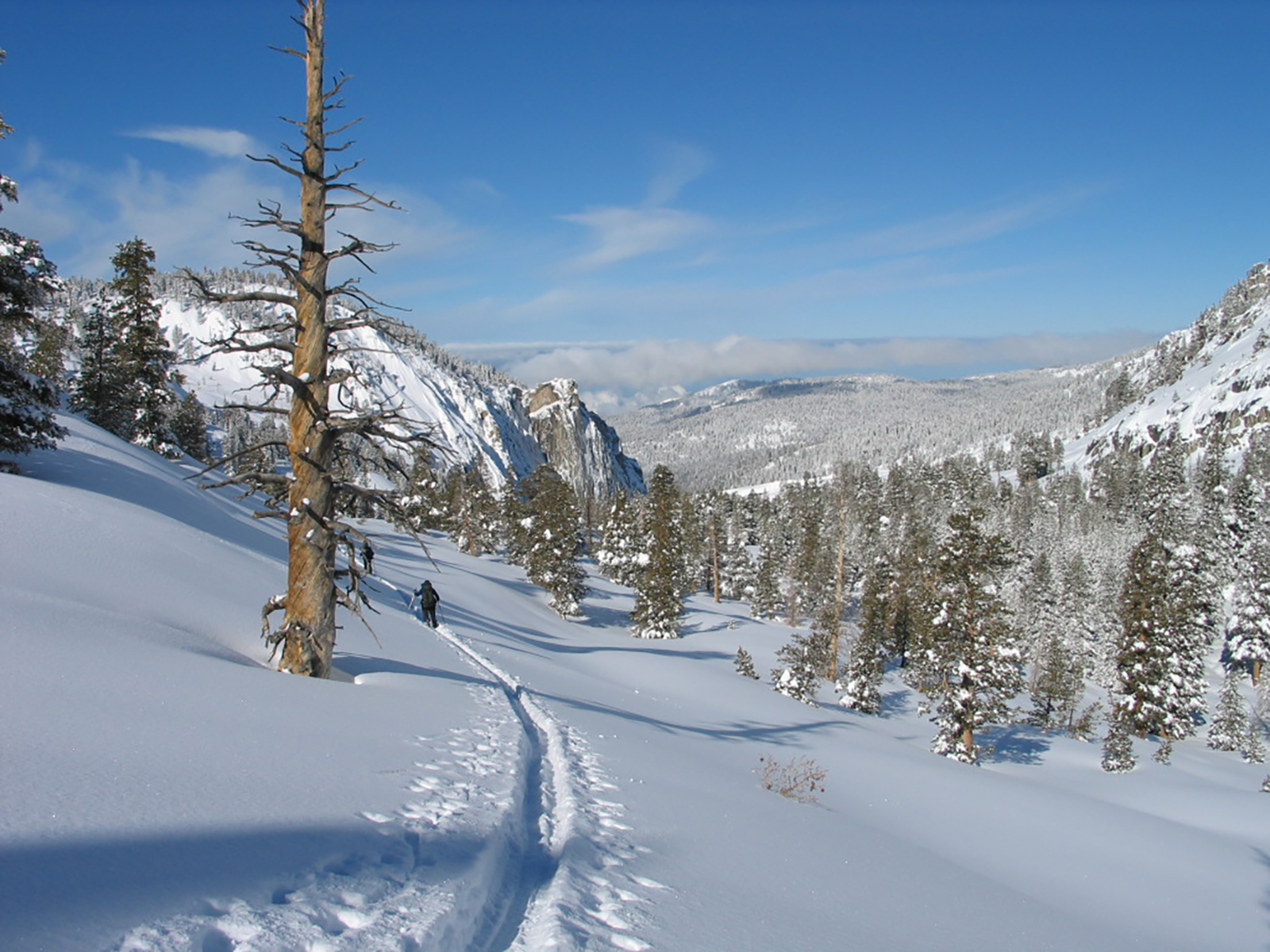
Alta Winter Trail
Sequoia & Kings Canyon National Parks
The Alta Trail descends nearly 1,000 feet from Wolverton to Giant Forest and connects with several other trails. This is a difficult ski with steep terrain and many trees.
The Alta Trail descends nearly 1,000 feet from Wolverton to Giant Forest and connects with several other trails. From the western end of Wolverton parking area, ascend the ridge to the southwest. The ridge-top makes for an easy, one mile route to the junction with the Panther Trail. The route then plunges steeply down into Giant Forest, where it intersects the Crescent Trail at the McKinley Tree Trail Junction (1.5 miles from Panther Trail Junction). Below this junction the Alta Trail passes through some of the best of Giant Forest, and then makes another descent where it intersects with Bear Hill Trail. The trail ends 1.5 miles from the McKinley Tree Junction. This is a difficult ski with steep terrain and many trees. Trail Information Trailhead: Wolverton parking area Distance: 6.2 miles (10 km) one way Difficulty: Hard Elevation Gain/Loss: 696 ft / 1505 ft Approximate Round Trip: 6 – 8 hours For a complete map of winter trails, check out our Park Newspaper. For more detailed trail information, please visit our Maps page.
Tags
Cross-Country SkiingTrailsSequoia and Kings Canyon National ParkWinter Trailcross country skiingsnowshoe hike
Visitor Photos
No visitor photos yet
Details
Duration
6-8 Hours
Duration Details
The duration will vary depending on fitness level, snow conditions, and length of time spent at trail features.
Fees
Entrance fees may apply, see Fees & Passes information.
Fees Apply
No
Accessibility
There are accessible parking spots and accessible flush toilets available at the Wolverton parking lot.
Pets
No
Reservations
No
Location
Wolverton Parking Area