2-4 HoursFee applies
Clover Creek Winter Trail
Sequoia & Kings Canyon National Parks
This one-way trail is currently marked to the Twin Lakes hiking trail junction. Return to Wuksachi on the same trail.
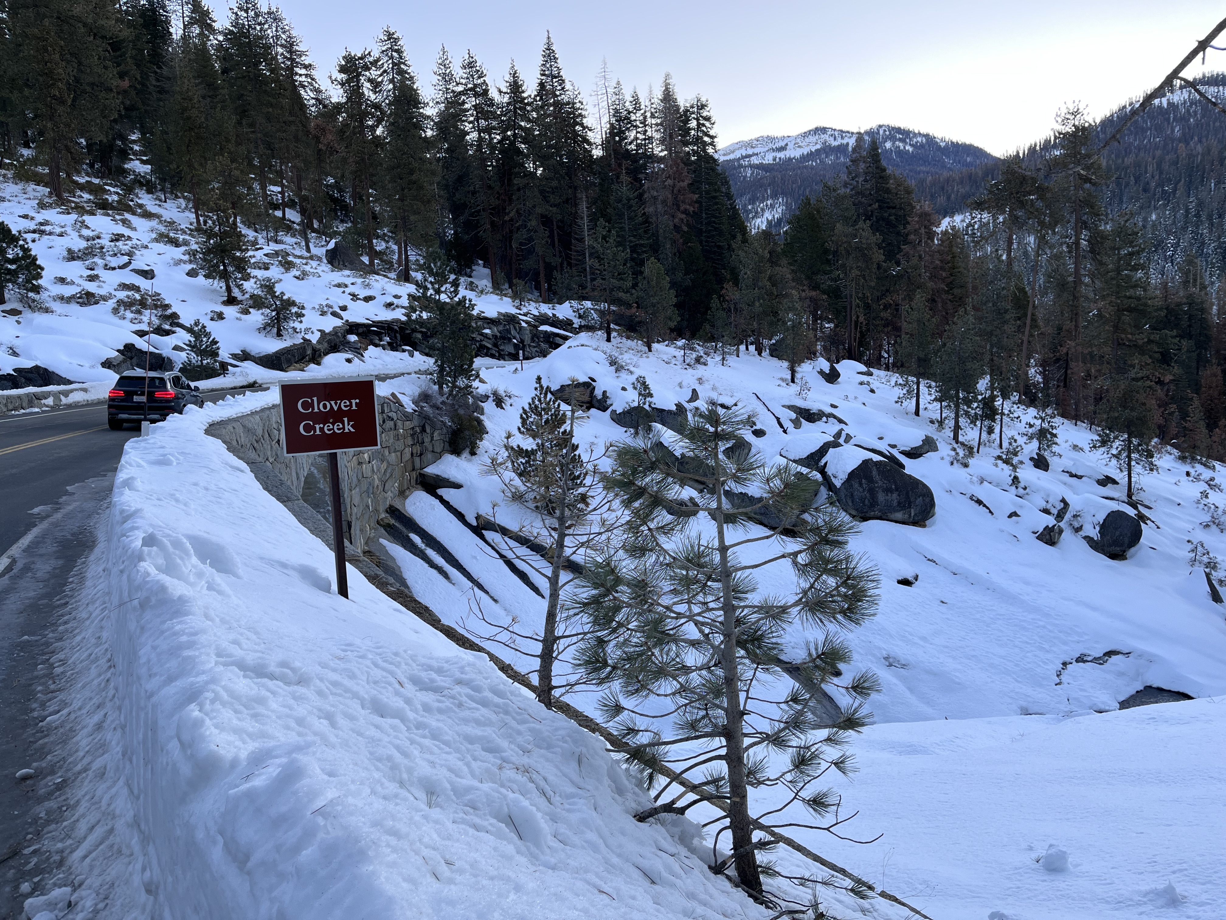
This one-way trail is currently marked to the Twin Lakes hiking trail junction. At the north end of the Wuksachi Village Center Parking area, follow trail markers across two pedestrian bridges. After a few switchbacks, the trail crosses the Clover Creek Bridge. Use caution, the trail from the creek is steep. The trail heads eastward through thick stands of firs for 0.8 miles until it crosses Silliman Creek, and then on to the Twin Lakes Trail junction. Return to Wuksachi on the same trail. The Twin Lakes hiking trail leads south from the junction to Lodgepole. The trail is marked but the last mile to Lodgepole is a steep south-facing slope that will be one of the first areas to melt out and should be attempted by advanced skiers only. Trail Information Trailhead: Wuksachi Village Center parking area Distance: 2.1 miles (3.4 km) one way, Wuksachi to Twin Lakes summer trail junction Difficulty: Medium Elevation Gain/Loss: 390 ft / 193 ft Approximate Round Trip: 2 – 4 hours For a complete map of winter trails, check out our Park Newspaper. For more detailed trail information, please visit our Maps page.
Tags
Cross-Country SkiingTrailsSequoia and Kings Canyon National Parkscross country skiingsnowshoe hikeWinter Trails
Visitor Photos
No visitor photos yet
Details
Duration
2-4 Hours
Duration Details
The duration will vary depending on fitness level, snow conditions, and length of time spent at trail features.
Fees
Entrance fees may apply, see Fees & Passes information.
Fees Apply
No
Accessibility
There are accessible parking spots at the Wuksachi Village parking area. When Wuksachi Lodge is open, there are accessible flush toilets and drinking fountains available.
Pets
No
Reservations
No
Location
Wuksachi Village Center parking area