2-3 Hours
Hike Curecanti Creek Trail
Curecanti National Recreation Area
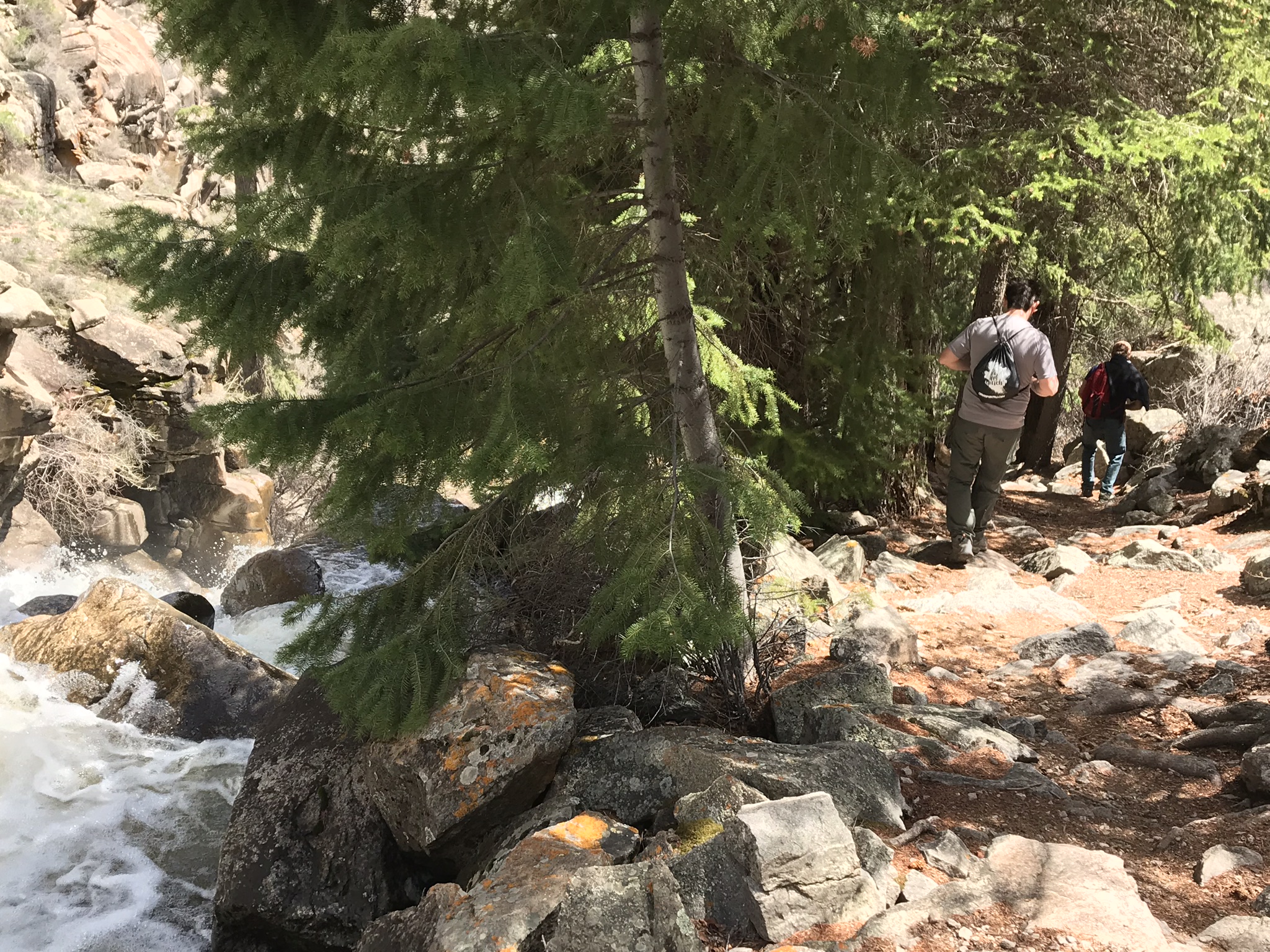
After descending from the high rim of the Upper Black Canyon of the Gunnison, the trail follows Curecanti Creek as it descends toward Morrow Point Reservoir.
After descending from the high rim of the Upper Black Canyon of the Gunnison, the trail follows Curecanti Creek as it descends toward Morrow Point Reservoir. The Curecanti Needle, a 700 ft (213 m) granite spire, towers above at the trail's end. The first half of the trail begins in the sun on a southwest facing slope and the second half is partially shaded by fir and spruce trees. Good shoes or boots are recommended. Carry at least 2 quarts of water per person. Distance (one-way): 2 mi (3.2 km) Difficulty: Strenuous
Tags
HikingAnimalsBirdsCanyons and CanyonlandsForests and WoodlandsConiferous ForestsGeologyNatural SoundsNight SkyRock Landscapes and FeaturesScenic ViewsTrailsTransportationRoads, Routes and HighwaysWaterfallscurecanticurecanti creekColoradogunnisonmontroseCurecanti National Recreation Areacurecanti creek trailCurecanti Needlemorrow point damhiking trails
Visitor Photos
No visitor photos yet
Details
Duration
2-3 Hours
Duration Details
Elevation change is more than 900 ft (274 m). Allow 2-3 hours for this hike.
Fees Apply
No
Seasons
Spring, Summer, Fall
Accessibility
Curecanti Creek Trail has steep grades with uneven terrain. It is not wheelchair accessible.
Pets
Yes — Pets on leash are allowed.
Reservations
No
Location
Pioneer Point