Overview
About Natchez Trace National Scenic Trail.
The Natchez Trace National Scenic Trail is five sections of hiking trail running roughly parallel to the 444-mile long Natchez Trace Parkway scenic motor road. The foot trails total more than 60 miles and offer opportunities to explore wetlands, swamps, hardwood forest, and the history of the area.
HikingHorse TrekkingHorseback Riding
Weather
Mississippi, Alabama, and most of Tennessee are classified as humid subtropical climates. The weather ranges from mild winters to hot summers. Average high temperatures reach into the high 80's in summer, and into the high 40's in winter. Thunderstorms are common in Mississippi, especially in the southern part of the state, and from June through November, the state is occasionally affected by hurricanes moving north from the Gulf of Mexico. Check local forecasts to plan your trip.
Gallery
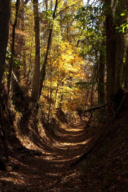
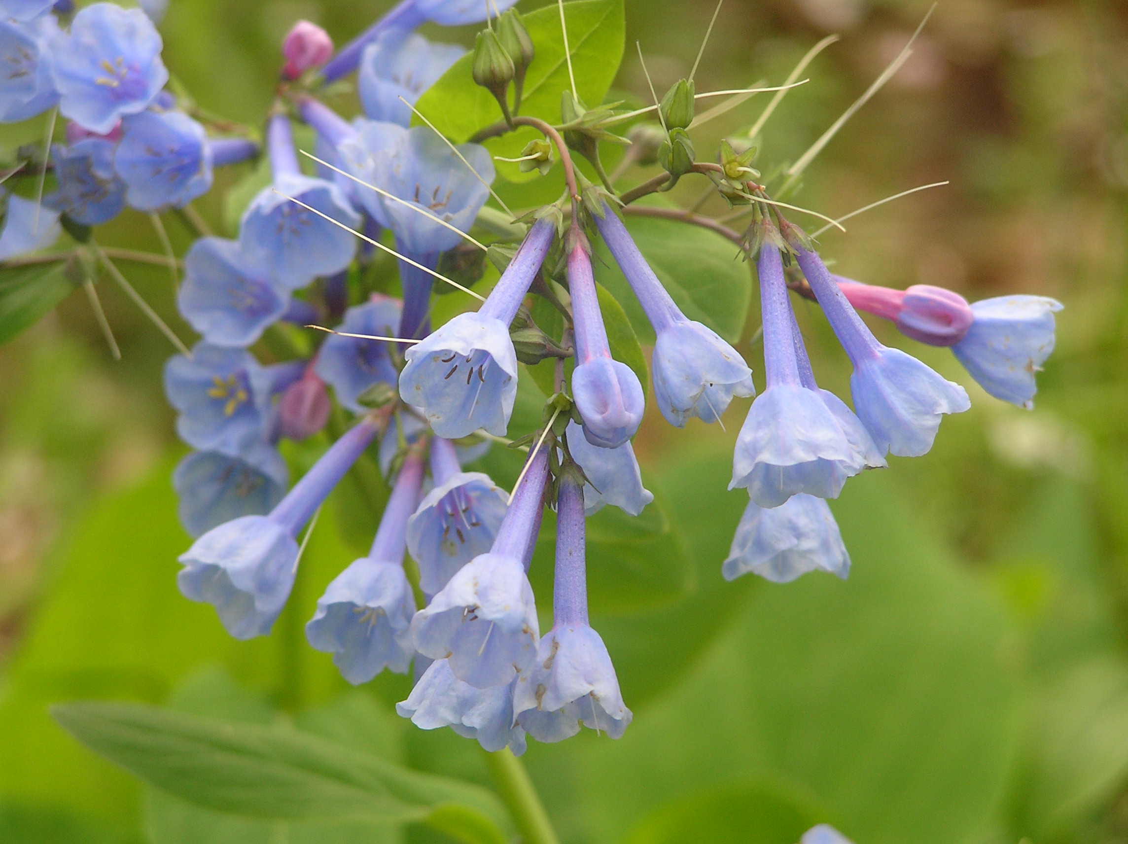
Photos of Natchez Trace National Scenic Trail.
3 images
Things to do
Discover Natchez Trace National Scenic Trail.
Finding Flowers
5-160 MinutesThis is a guide to help identify what wildflowers might be blooming when in what parts of the Natchez Trace Parkway.
Learn more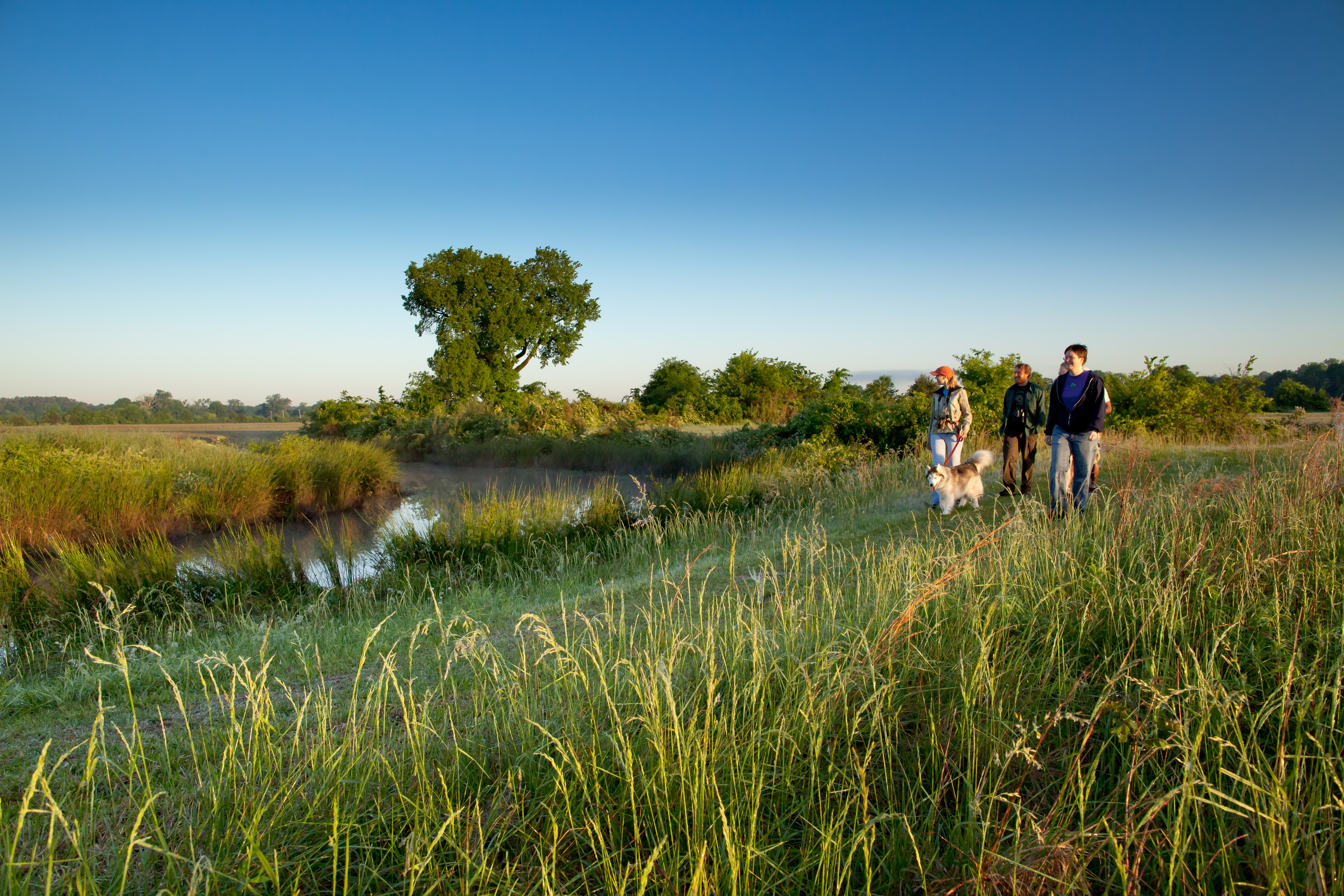
Hiking the Blackland Prairie Section of the Natchez Trace National Scenic Trail
1-6 HoursThe Blackland Prairie section of the Natchez Trace National Scenic Trail is a popular 6 mile hiking trail in and around Tupelo, Mississippi.
Learn more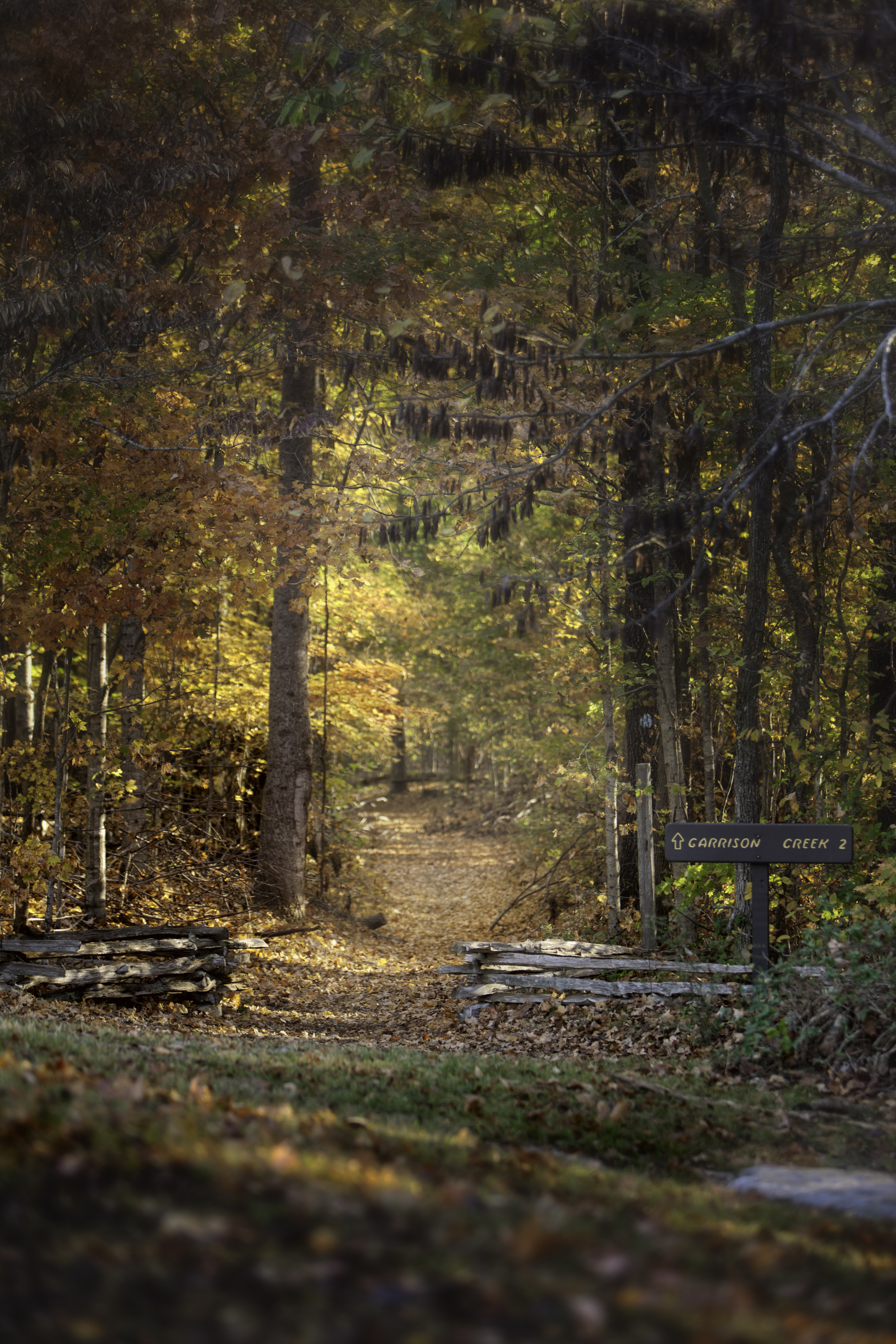
Hiking the Highland Rim Section of the Natchez Trace National Scenic Trail
1-10 HoursThe Highland Rim section of the Natchez Trace National Scenic Trail is a popular twenty mile hiking and equestrian corridor south of Nashville Tennessee along the Natchez Trace Parkway from Milepost 427.4 to 407.9.
Learn more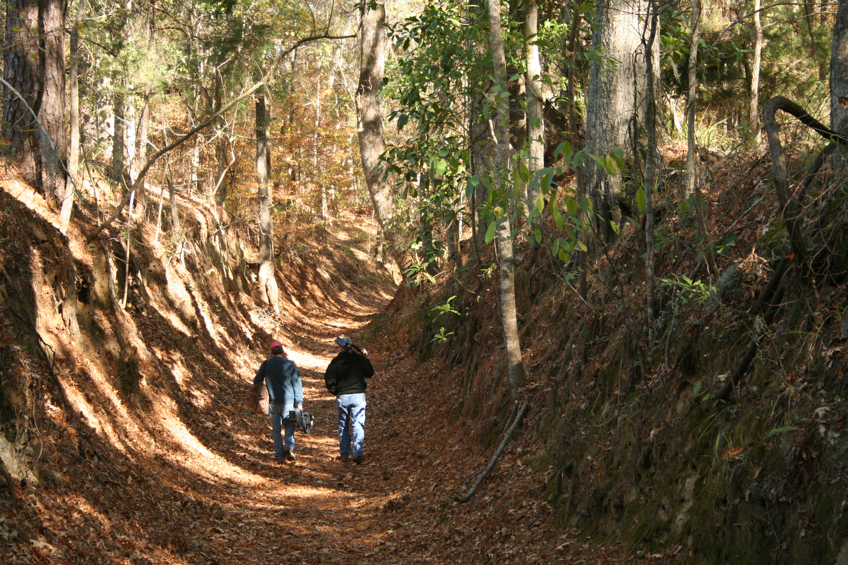
Hiking the Potkopinu Section of the Natchez Trace National Scenic Trail
1-6 HoursPotkopinu (Pot-cop-i-new), the southernmost section of the Natchez Trace National Scenic Trail, is only three miles long, but it is the longest stretch of "sunken" historic Trace remaining. Named for the Natchez word meaning "little valley." Thus trail cuts deep into the rich, fine-grained soil. It doesn't take much to erode this type of soil, and centuries of human and animal traffic have done an impressive job. This trail has some embankments over twenty feet high!
Learn more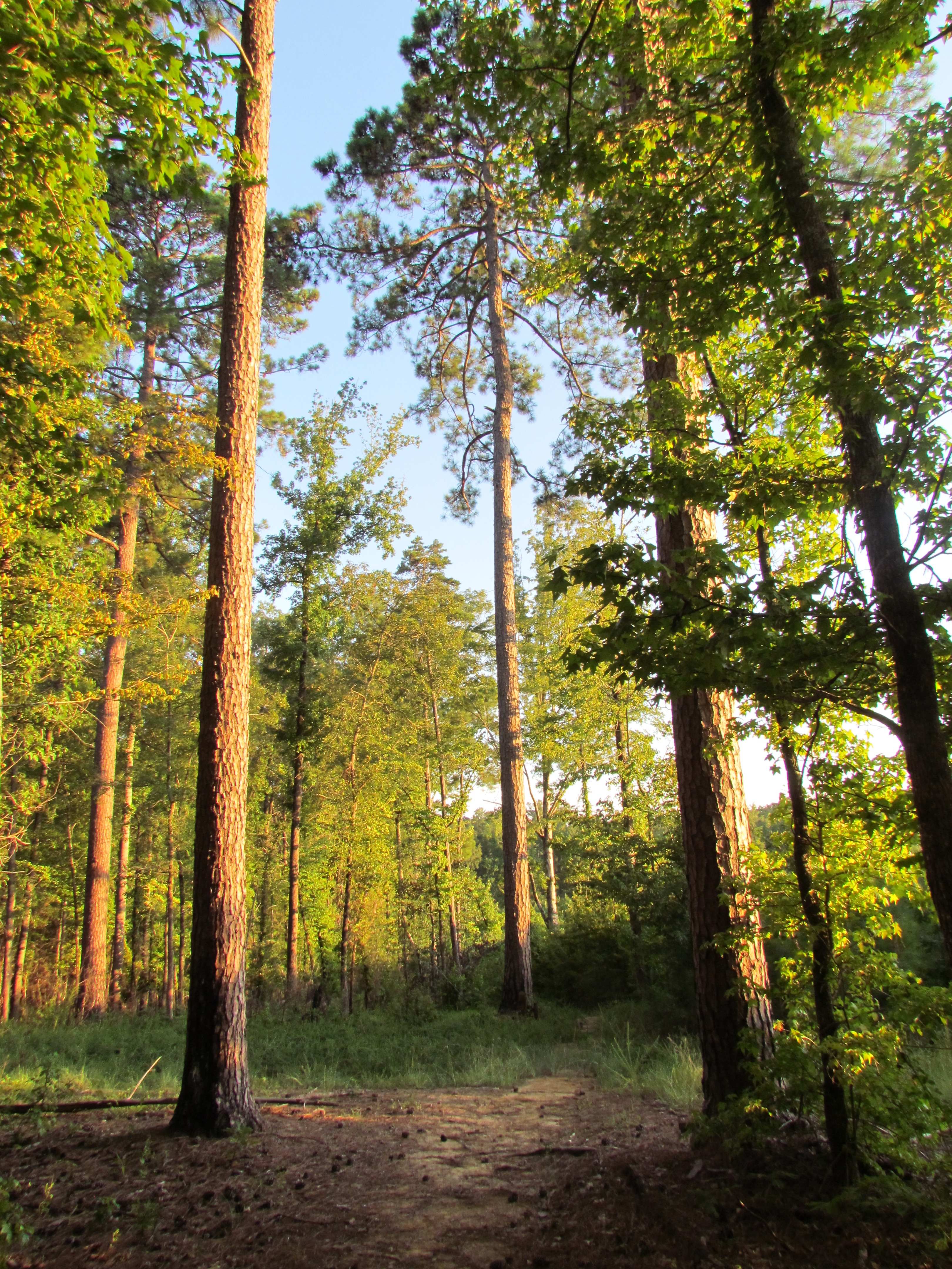
Hiking the Rocky Springs Section of the Natchez Trace National Scenic Trail
1-12 HoursThe Rocky Springs Section of the Natchez Trace National Scenic Trail is a six mile section located near Port Gibson, Mississippi. This trail crosses gently rolling forested land. At Rocky Springs, a side trail leads to the remains of the old town, including a church and cemetery. South of Rocky Springs the trail is moderately strenuous in places--up and down through deep ravines. Near the south terminus at Owens Creek is a good spot to sit quietly and listen to the forest.
Learn more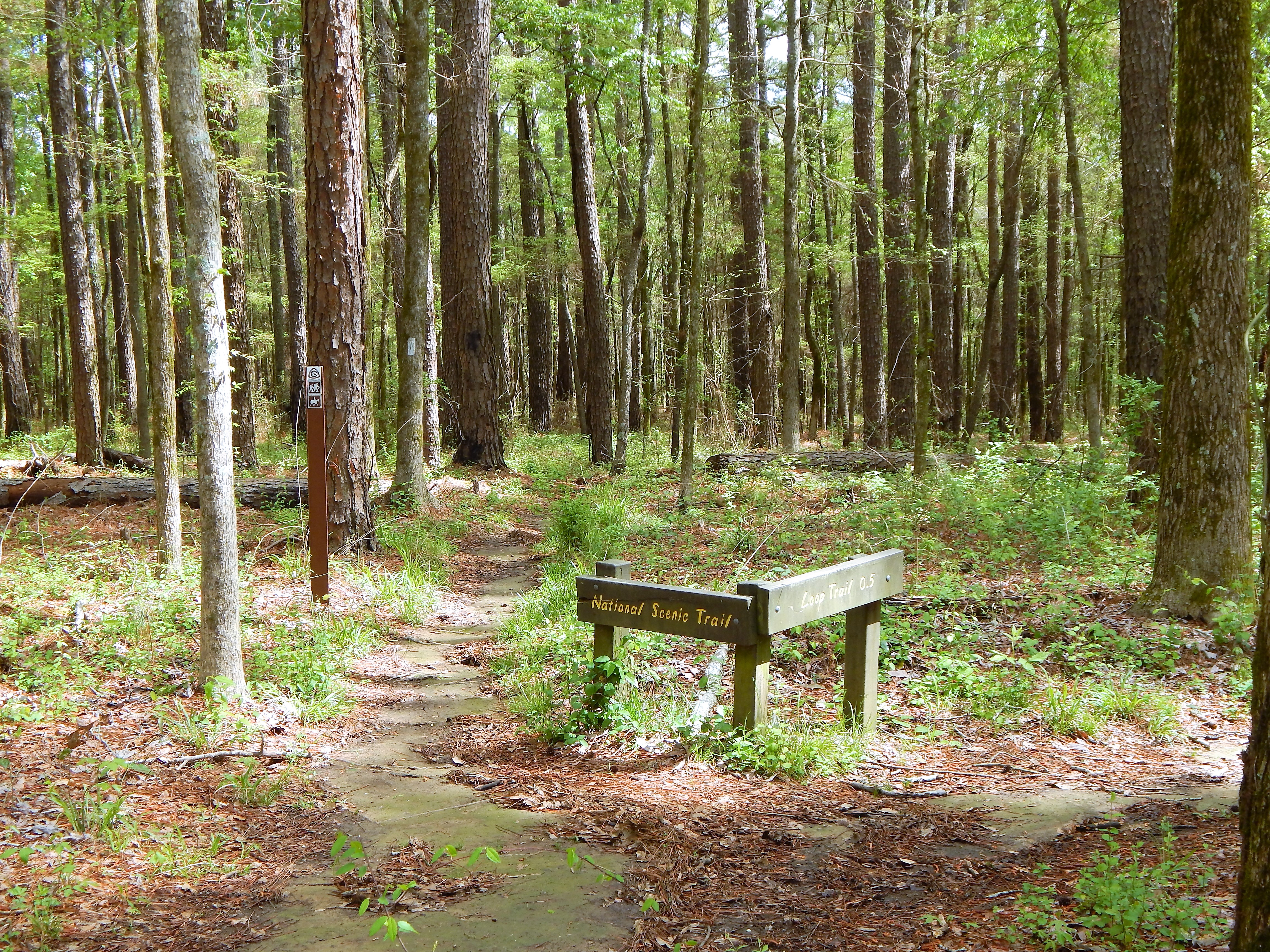
Hiking the Yockanookany Section of the Natchez Trace National Scenic Trail
1-15 HoursNorth of Jackson, Mississippi the Yockanookany section of the Natchez Trace National Scenic Trail is the longest of the five developed trail sections at 26 miles. Eight miles run alongside the Ross R. Barnett Reservoir, and the other sixteen miles go through dense forests, seasonal streams and open pastureland.
Learn more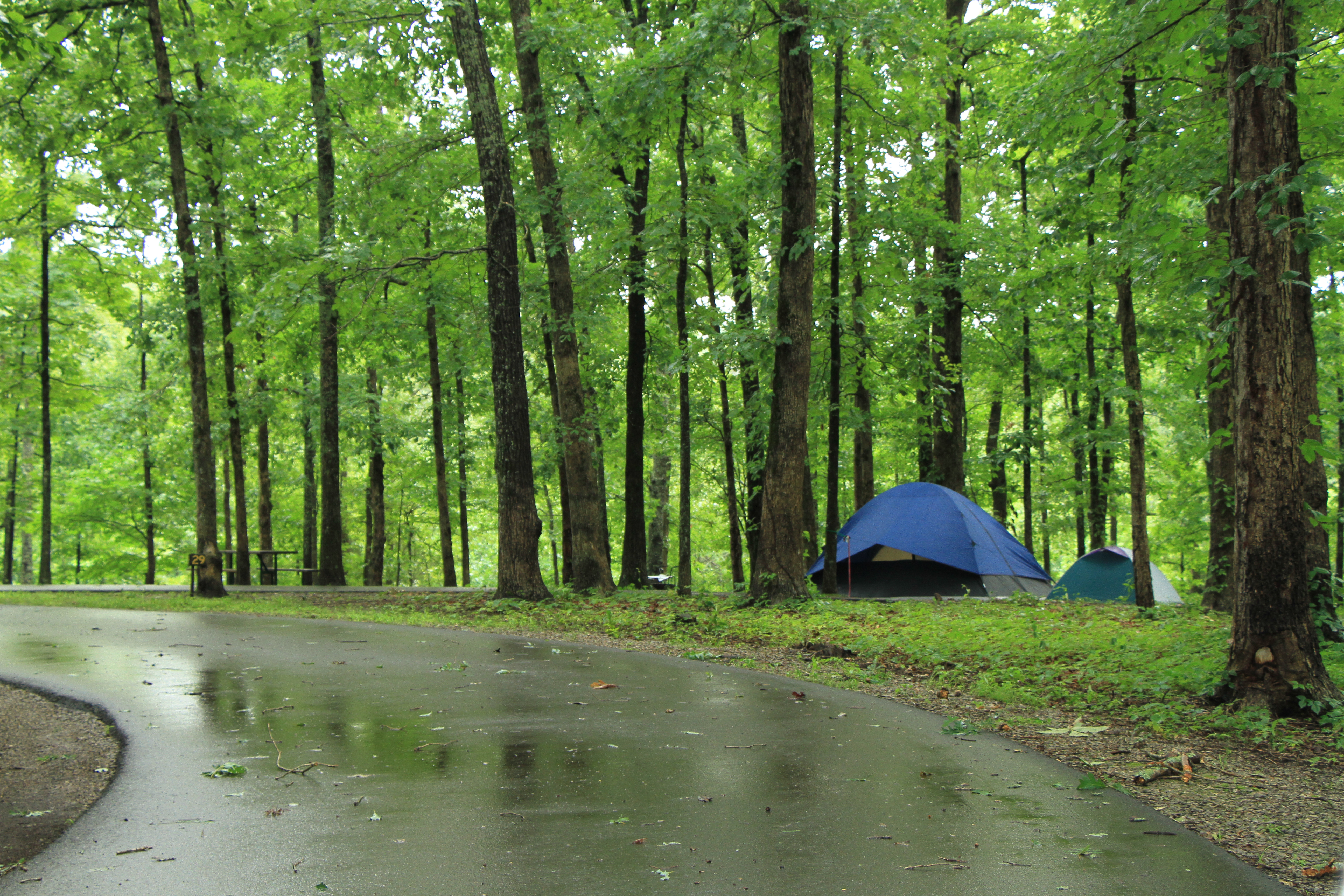
Tent Camping on the Natchez Trace
2-14 DaysThe Natchez Trace Parkway manages three campgrounds along the Parkway. Those campgrounds are Meriwether Lewis at Milepost 385.9, Jeff Busby at Milepost 193.1 and Rocky Springs at Milepost 54. The campgrounds are free, primitive, and available on a first come, first serve basis. The maximum stay at our campgrounds is 14 days combined throughout the year. All camping must take place within designated campgrounds. The Natchez Trace Parkway does not allow dispersed camping.
Learn moreTrails on the Natchez Trace Parkway
15-460 MinutesThe Natchez Trace Parkway has trails from 200 feet to 27 miles long. There are many short nature trails, and the Natchez Trace National Scenic Trail (www.nps.gov/natt) is totally contained within the Parkway boundaries.
Learn moreNo reviews yet. Be the first to share your experience!
Know a great spot near Natchez Trace National Scenic Trail?
Help visitors discover the best local businesses near Natchez Trace National Scenic Trail. List your business on Poyst and reach thousands of travelers.
- ✓Free business listing with photos & reviews
- ✓Appear in destination & city guides
- ✓Analytics dashboard to track visibility