2-5 HoursEntrance Fee Applies
Cerro Grande Trail
Bandelier National Monument
Trail description, including roundtrip mileage and what to expect along the way.
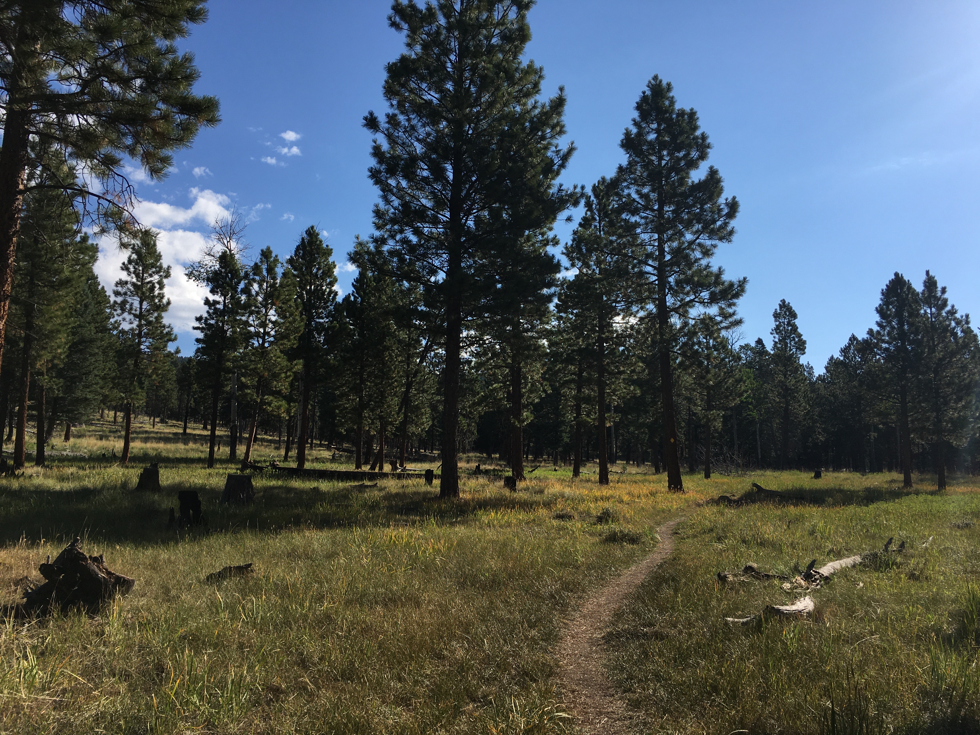
The Cerro Grande Route goes up to the highest point in the park, Cerro Grande Peak (10,199 ft). The preferred route is marked by yellow diamonds and is 2.3 miles each way (4.6 round trip). There is an elevation gain of approximately 1200 feet from trailhead to summit. The views from the top are quite spectacular. Snow and ice may be present longer than at lower elevations. In late summer, thunderstorms can pose a serious threat. Before hiking be sure you are prepared with adequate gear and clothing.
Tags
Backcountry HikingArcheologyCliff DwellingsRuinsCanyons and CanyonlandsClimate ChangeFirePlateaus and MesasForests and WoodlandsGeologyMonuments and MemorialsMountainsNative American HeritageNatural SoundsNight SkyScenic ViewsTrailsBandelier National Monument
Visitor Photos
No visitor photos yet
Details
Duration
2-5 Hours
Fees
Entrance Fee Applies
Fees Apply
Yes
Seasons
Winter, Spring, Summer, Fall
Time of Day
Day, Dawn, Dusk
Accessibility
This trail is considered strenuous because of the elevation gain (1200 ft). It is only recommended for those in good physical shape. The Cerro Grande Trail is not wheelchair accessible but is accessible to service animals.
Pets
No
Reservations
No